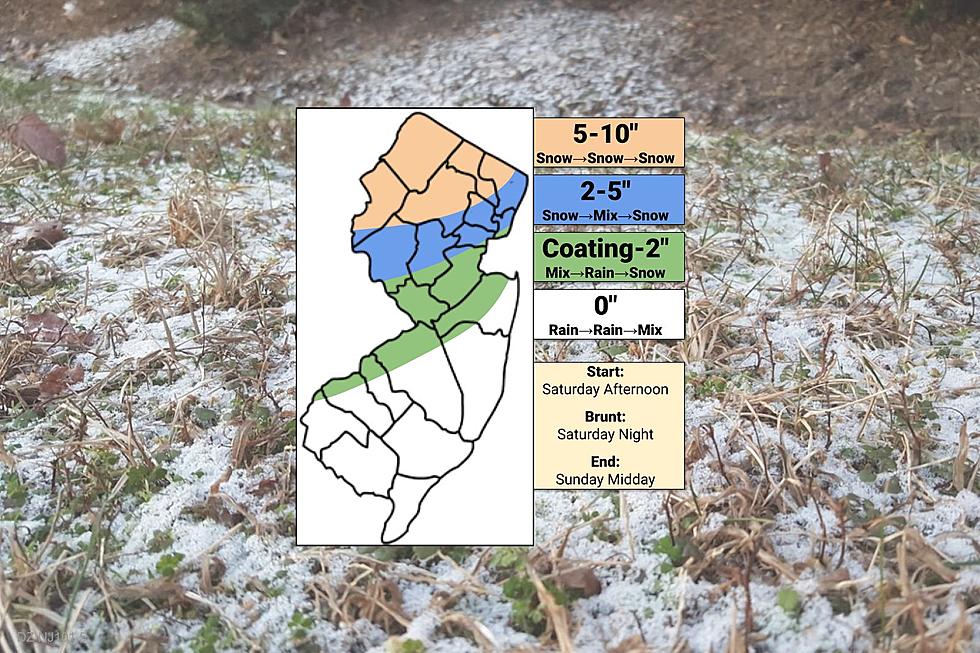
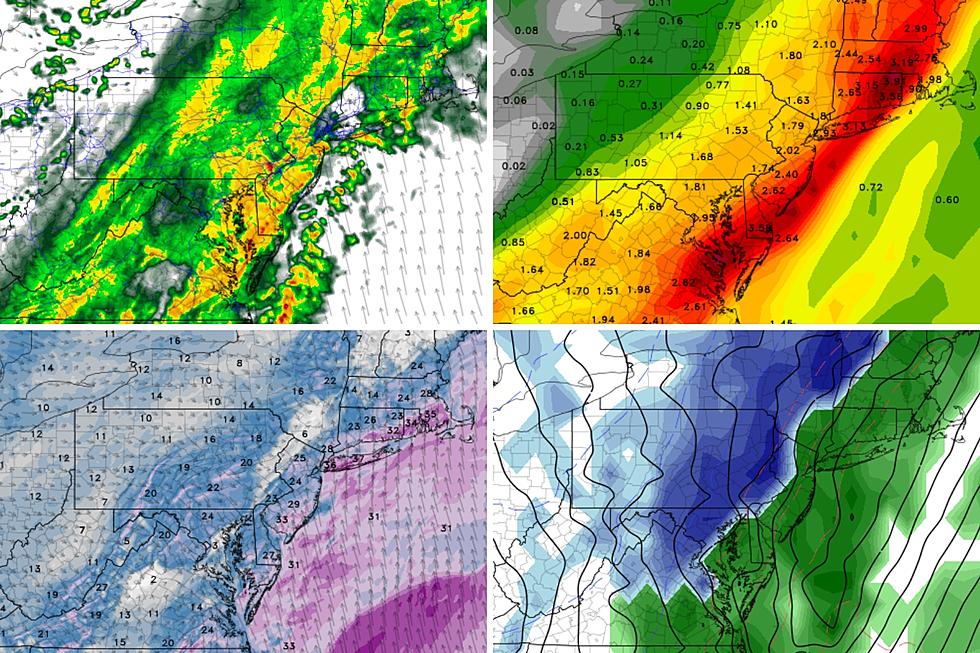
The first weekend of 2024 features messy weather across New Jersey, ranging from up to 10 inches of snow to the north, to an inch of rain to the south.
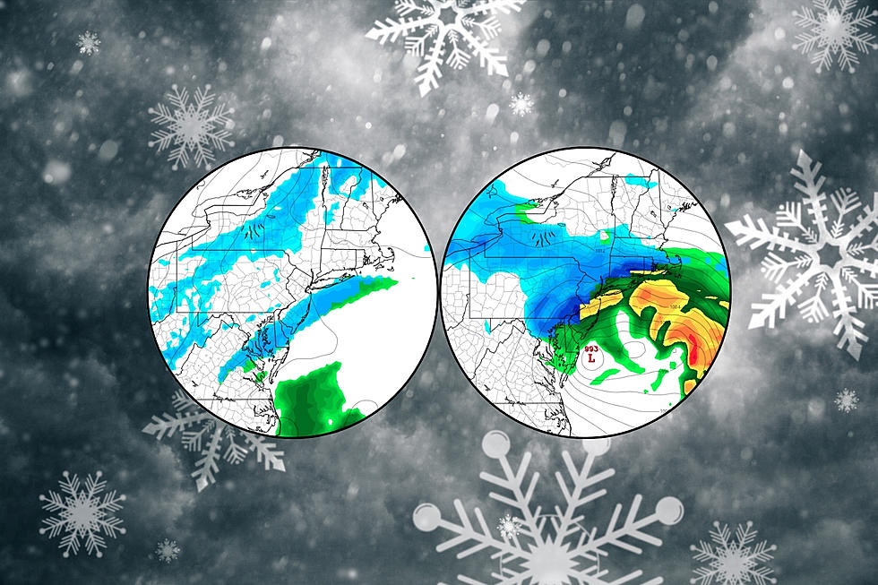
A conversational snow shower is possible later this week, and then we are watching a potentially significant winter storm for the first weekend of 2024.
The Bottom Line
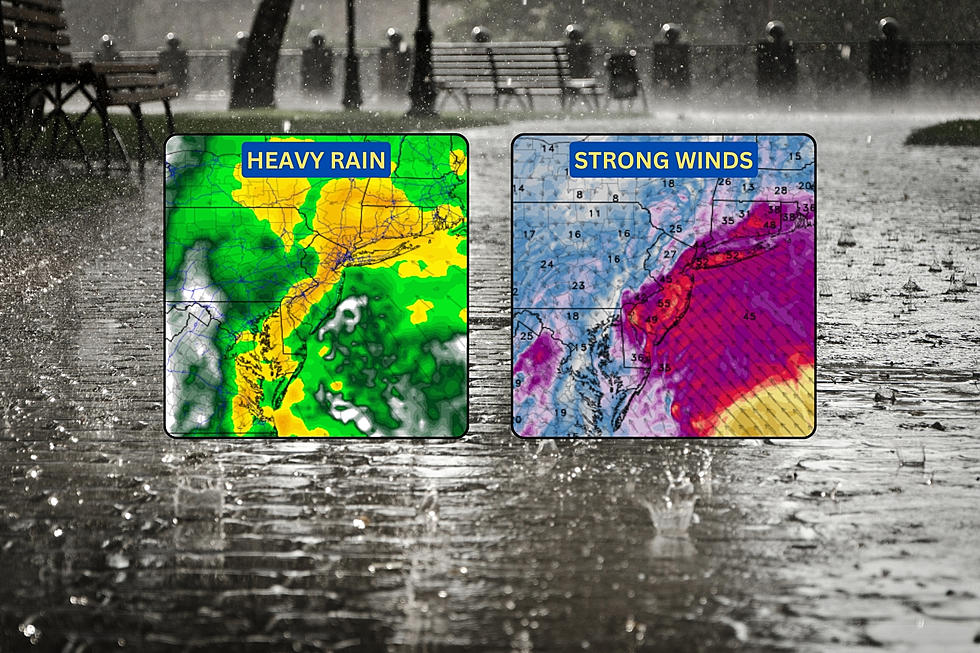
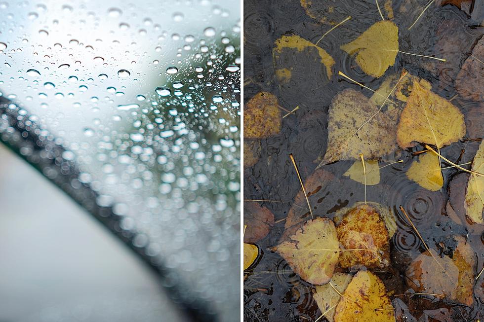
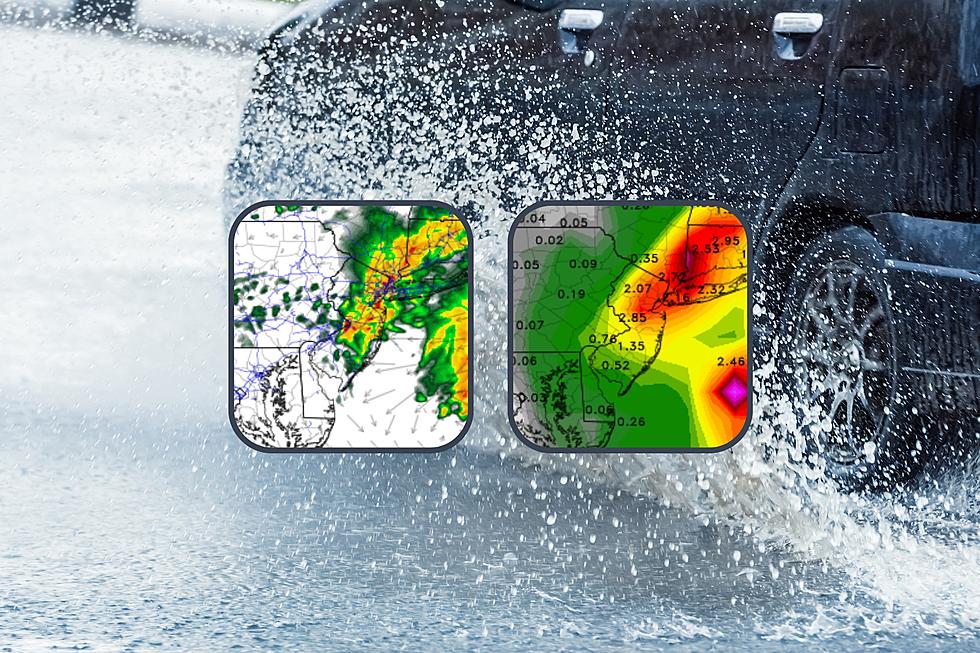
This fall, weekend weather has been pretty awful. For the last five weekends in a row (since September 9-10), we have seen measurable rainfall in New Jersey. And it is becoming clear that our upcoming weekend will follow the trend, making it six in a row...
Snow and ice! Doom and gloom! There are clues about what's ahead this winter, but too many forecasters (and fakers) stretch the science of meteorology too far.