Unsettled weather for NJ for last week of 2021: Wet snow to rain Monday
The Bottom Line
We close out the year with a stretch of unsettled, fairly active weather. No big soakings. No big bursts of winter. But we will see approximately three periods of nuisance precipitation over the next four days.
Monday presents the best chance for some snowflakes and/or icy mix, but little to no accumulation or travel issues are anticipated. Looking ahead to the big New Year's celebration at the end of the week, Eve looks good, but Day turns wet.
Monday
A slow-moving front will crawl over New Jersey Monday, so our weather will turn rather damp and dreary. And a little wintry too.
Clouds are already rolling in, with chilly temperatures averaging 30 degrees across the state early Monday morning.
Precipitation will start late Monday morning, around 10 a.m. Given our current dry air mass, it's going to be hard for those initial raindrops and snowflakes to reach the ground. Once it does, everyone in the state could see a period of wet snow at onset.
Through the afternoon, the atmosphere will warm up just enough to force most of that precipitation to turn to rain. (The only exception would be far northern New Jersey, where wintry mix may continue.) High temperatures will only reach the 35 to 40 degree range — above freezing, but pretty chilly.
If the air weren't as dry and if the ground was colder and if we held on to cold air a little longer, we could have seen an inch or two of snow accumulation by the end of the day. But that ain't gonna happen — little to no accumulation, little to no travel problems.
After sunset Monday evening, temperatures will only dip a few degrees, at most. (Thermometers may actually rise a bit overnight.) As scattered showers continue through about Midnight, there could be some icy mix (sleet and freezing drizzle) above Interstate 78.
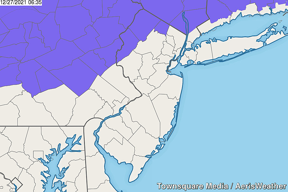
So slippery spots are possible in North Jersey — that's why the National Weather Service has pushed out a Winter Weather Advisory for Warren, Sussex, and western Passaic counties Monday evening. Not for snow, just for the light icing potential.
Tuesday
Tuesday looks mostly cloudy, mainly dry, and pretty mild. High temperatures should push into the mid 40s (north) to mid 50s (south). A little dreary, but not back.
Scattered rain will make a comeback starting Tuesday late afternoon, let's say around 4 p.m. That wet weather will last into Tuesday evening. Again, there could be some minor wintry mix to the north and west only. But once again, no travel issues.
Wednesday
Wednesday is tricky, as some models show occasional showers over part (not all) of New Jersey. With high temperatures on either side of 50 degrees, anything that falls from the sky would be rain. And again, not everyone will necessarily see raindrops on Wednesday. (Although you will see lots of clouds overhead.)
Thursday
We face one more burst of solid rain early Thursday morning, before our weather dries out and clears out. By the end of this stretch of unsettled weather, we'll probably have tallied about a half-inch of total rainfall max.
Brighter, bluer skies should prevail by Thursday afternoon. And temperatures won't be half bad, in the lower 50s.
Friday (New Year's Eve) & Beyond
Friday is New Year's Eve, and probably the nicest day of this forecast. Partly sunny skies, light winds, dry weather, and highs still around the 50-degree mark. Not bad at all.
We'll ring in 2022 with a Midnight temperature in the upper 30s or so. Above freezing.
The first storm system of the new year is forecast to arrive late on New Year's Day (Saturday), lasting through Sunday and into the early morning hours of Monday. And it looks like a heavy rain maker, with widespread 2 to 3 inches of total rainfall possible. There could be a burst of snow as temperatures drop on the backend, leading to some quick accumulation. Obviously something to watch as the weekend approaches.
Dan Zarrow is Chief Meteorologist for Townsquare Media New Jersey. Follow him on Facebook or Twitter for the latest forecast and realtime weather updates.
Counting down New Jersey's top 15 weather stories of 2021
Gallery Credit: Dan Zarrow
11 things that make a New Jersey diner a real diner
Gallery Credit: Jeff Deminski
More From Beach Radio