Tuesday NJ weather: A brighter, drier, slightly warmer forecast
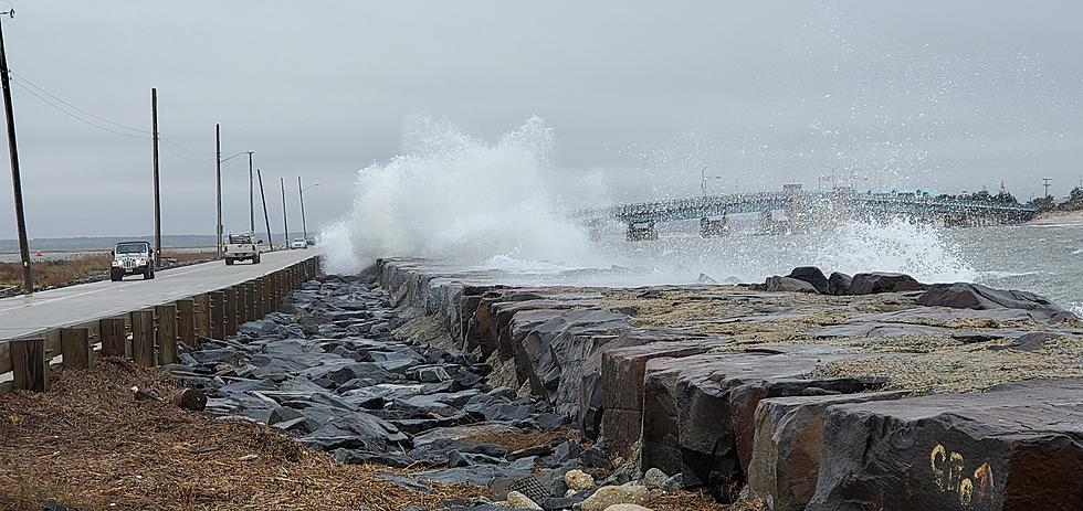
I'm thrilled to welcome some big weather improvements to New Jersey. The powerful coastal storm that has been sideswiping New Jersey for 2+ days is definitively shoving out to sea. The beach erosion and coastal flooding were pretty severe, and the rain and wind were nuisances.
I've said it before, and I'll say it again. I am truly relieved that 1.) this storm system didn't track closer to the coast, and 2.) temperatures weren't ~10 degrees cooler. Otherwise, the impacts here would have been far more significant.
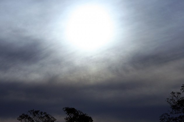
As of this writing (5:30 a.m.) final raindrops are falling in northeastern New Jersey. We're left with damp conditions for the Tuesday morning commute, as patchy light mist and fog envelop the state.
By midday Tuesday, most of New Jersey should break into sunshine as we continue to dry out. The brighter weather will lead to at least a little warmup, as highs peak in the upper 40s (north) to lower 50s (central and south). That is certainly warmer than the past 3 days. But still a few degrees below normal for mid-November.
A weak atmospheric impulse is forecast to pass over New Jersey from Tuesday late afternoon through Tuesday evening. The NAM has been painting this shower chance for a couple of days, while the GFS shows a drier solution. I'm going to include a round of sprinkles and possible flurries in Tuesday night's forecast, but I don't think it's going to be all that significant.
It will be chilly Tuesday night, but temperatures will be close to seasonal norms, in the mid 30s.
A light shower may still be hanging around the Garden State early Wednesday morning. Then we'll see a mix of sun and clouds for the rest of the day. It will be breezy too, with sustained northwesterly winds between 10 and 20 mph. And, as usual, as NW wind is a cooling wind — high temps on Wednesday will be limited to the mid to upper 40s.
That's why I'm calling Thursday a nicer weather day. Skies will be sunnier, winds will be lighter, and temps look slightly warmer. We'll top out near 50 degrees Thursday afternoon.
Friday is going to be the warmest day of the week (and most of last week too), as thermometers climb into the upper 50s to lower 60s — above normal, hooray! However, the mild air will come with increasing clouds. And our next cold front is expected to arrive between Friday mid-afternoon and Friday early evening, spreading a period of rain throughout New Jersey. (That timing, of course, is subject to change as this forecast continues to evolve.)
Behind that front, we'll be left with another burst of colder air. Highs on Saturday will only reach the mid 40s.
In addition, a healthy-looking storm system is modeled to slide along that aforementioned cold front, as it stalls just south of New Jersey. That means rain becomes likely again from Saturday evening through early Sunday morning. Given the overall colder temperatures and overnight timing, I wouldn't rule out some snow. Maybe even some light accumulations in (colder) northwestern New Jersey. Definitely something we'll have to watch.
The long-range forecast remains generally cooler-than-normal through the rest of November. Models are showing a wet forecast for the middle of next week as Thanksgiving approaches, but that is a very low confidence call this far out.
More From Beach Radio


