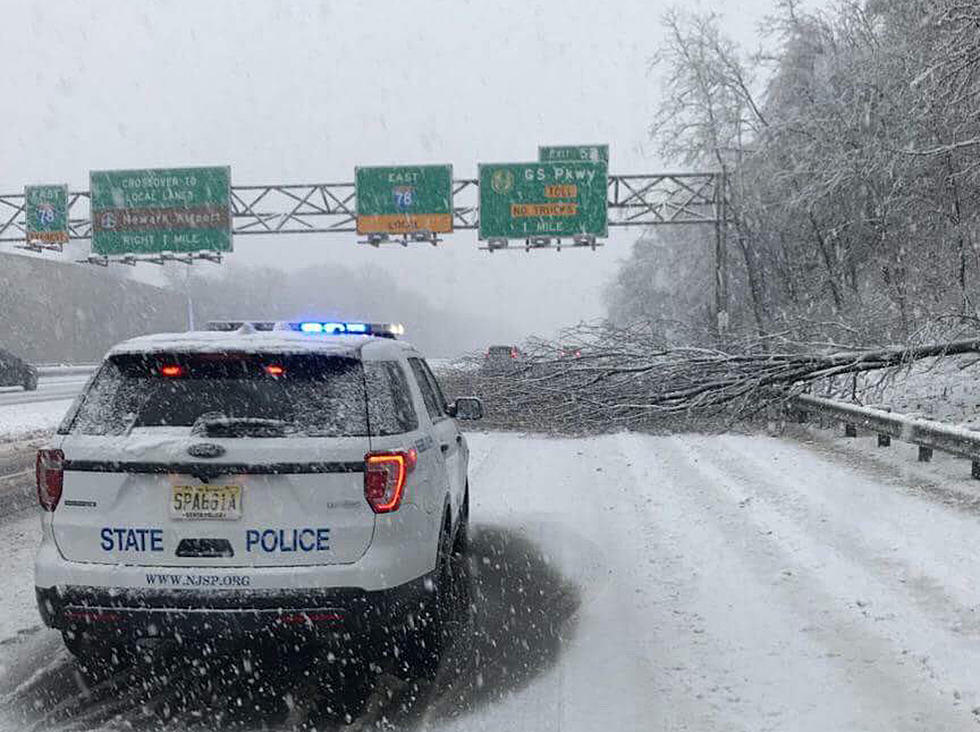
The Latest – Update On Today’s Nor’easter For The Jersey Shore
Part 2 of the 4th Nor'easter this month at the Jersey Shore has begun, and here's the latest up to the minute info.
Our meteorologist Dan Zarrow has been tracking every twist, wobble and movement of this storm and here's what he wants you to know about today's weather event.
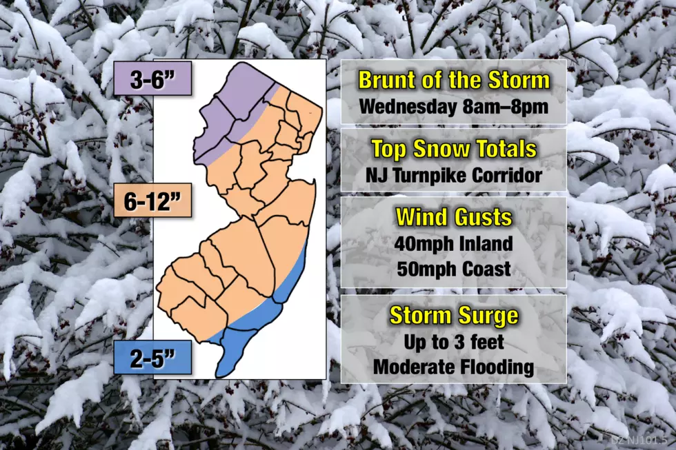
Timing. Dan says the first bands of "truly heavy" precipitation will arrive in the mid morning hours and will be with us through about 8:00pm, and the peak activity will be mid-morning to this evening.
Accumulations. The potential for 6 to 12+ inches still exists, with the higher totals in areas that obviously get the heaviest bands of snowfall. The immediate coast should see a little less in the way of accumulations.
Coastal implications. The winds are expected to gust to 40+ mph during the storm and there is a Coastal Flood Advisory in effect for the Jersey Shore until 5:00am tomorrow (Thursday) morning. Moderate coastal flooding is expected.
Melting. The melting begins almost immediately after lingering snow showers end tomorrow morning, with a high expected to be in the low 40's.
Please check Dan's updated forecast and Dan's weather blogs throughout the day for the very latest info and stay safe.
More From Monmouth & Ocean Counties
More From Beach Radio