A big warmup this week for NJ: 60s, 70s, maybe even 80 degrees
The Bottom Line
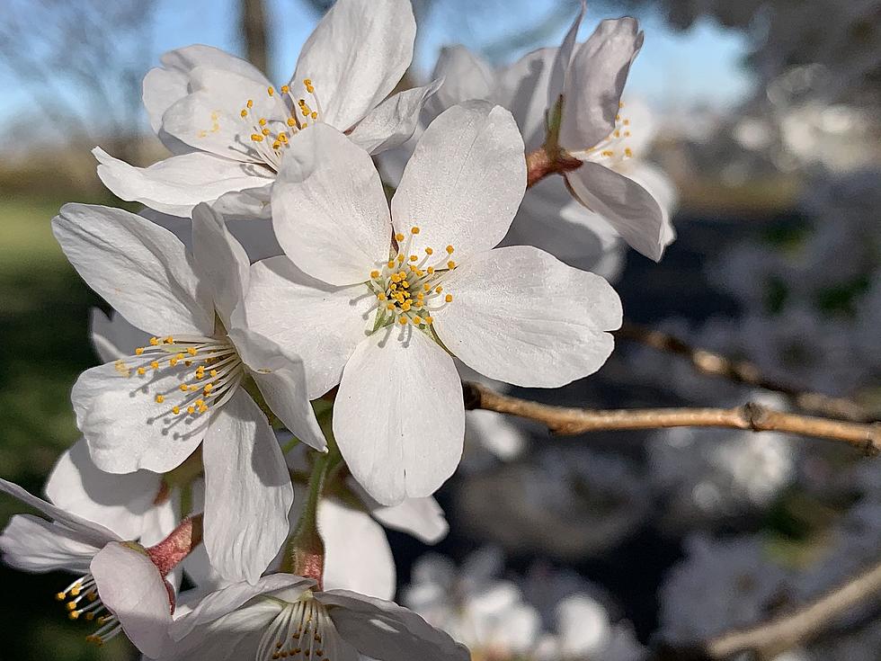
The first week of April was generally rainy, cloudy, and cool. Some of those days were rather unpleasant. However, I'm happy to report But Mother Nature is about to flip to springy warmth this week, with occasional rain showers too.
Even though Monday is off to a chilly start — with a Frost Advisory posted for most of the state — temperatures will be seasonably by the afternoon, with a bright sky. Tuesday, Wednesday, and Thursday will turn even warmer, running about 10 to 20 degrees above normal.
Of course, the forecast also includes some April showers. One batch of potential raindrops late Monday to early Tuesday. Another shower/thunderstorm chance late-day Wednesday. And then the most pronounced and most widespread rain will come Thursday night.
We're also getting a preview of the big Easter Weekend. Unfortunately, the warmth will not last that long.
Monday
Yes, we're talking a lot about warmth there. But temperatures have not started to soar yet. Monday morning is pretty cold, even frosty in spots. The coldest corners of New Jersey (to the northwest, and in the Pine Barrens) are starting just below the freezing mark. Most of the state is in the 30s, with lower 40s along the immediate coast only.
Technically, inland central and southern New Jersey fall under a Frost Advisory until 9 a.m. That doesn't mean much, unless you're a gardener or farmer. It does mean that the growing season hasn't quite started yet.
Given plentiful sunshine to start Monday, temperatures should start to jump up to more comfortable levels by mid-morning. Fair weather clouds will build in the afternoon. But with light winds and seasonable high temperatures approaching 60 degrees, it should be a nice early Spring day overall.
I think the daytime hours will stay dry. Although right around sunset, we have to add the chance for some rain showers to the forecast. Scattered and light — you just might need to flip on the windshield wipers Monday night. It will not be as cold as the previous night, with lows in the upper 40s.
Tuesday
We haven't hit widespread 70s since mid March —technically, it was still Winter back then.
The aforementioned showers will exit early Tuesday morning. And the rest of the day looks fantastic.
Skies will quickly clear to sunshine again, helping high temperatures soar to around the 70 degree mark.
Wednesday
For most of the state, Wednesday will push even warmer. Highs across inland New Jersey will soar to around 70 to 75 degrees. (I unabashedly love temperatures in the 70s, so I'm pretty excited about it.)
However, a light breeze blowing out of the southeast will be enough to keep coastal communities significantly cooler on Wednesday. Temperatures might be stuck in the 50s, perhaps? Still pleasant, but not quite t-shirt weather like those west of the Parkway in the 70s.
With the increase in warmth and humidity will also come a chance for a late-day spot shower or thunderstorm. Not everyone will see rain. But the best chance of some unlucky raindrops will be between about 4 p.m. and 10 p.m. I believe the best forcing for strong/severe storms will stay west of New Jersey, but that's something to watch.
Thursday
The warmest day of the week. Also the last warm day of the week.
Fueled by a strong southwest breeze, highs will shoot for 75 to 80 degrees by midday Thursday. Not quite reaching record high levels, but that is almost 20 degrees above normal for this time of year.
And then along comes a strong cold front — the leading edge of a cooler air mass, expected to sweep west-to-east across New Jersey Thursday afternoon. As it does, we'll likely see a brief burst of rain and wind blow through the entire state. Total rainfall may exceed a quarter-inch — we're not talking about another flood-inducing soaking like last week.
Behind the frontal passage and the rain, temperatures will start to slide back again Thursday night.
The Extended Forecast
Friday's forecast looks good, although noticeably cooler. Mostly sunny skies and highs in the lower 60s? Sounds like another nice April day to me.
The big holiday weekend features mixed news. It is going to rain at some point on Saturday. But how much and how long depends upon which model you believe. So if you have outdoor plans, keep an eye on how this forecast evolves. (Easter Egg hunt, anyone?)
Easter Sunday looks dry, sunny, breezy, and seasonable with highs near 60. Not bad.
Next week's forecast is trending cool and wet again. I also don't like the suggestion of possible snowflakes in North Jersey as early as Monday.
Dan Zarrow is Chief Meteorologist for Townsquare Media New Jersey. Follow him on Facebook or Twitter for the latest forecast and realtime weather updates.
Final flakes: When does snow season end in NJ?
Gallery Credit: Dan Zarrow
How the world saw New Jersey — 1940s to 1980s
Gallery Credit: Nicholas Damelio
More From Beach Radio