Tropical Storm Odette Forms 225 Miles Off Cape May, Dangerous Surf This Weekend
Tropical Storm Odette has formed a couple of hundred miles off of Cape May and while it poses no threat to land, it will cause very rough surf this weekend.
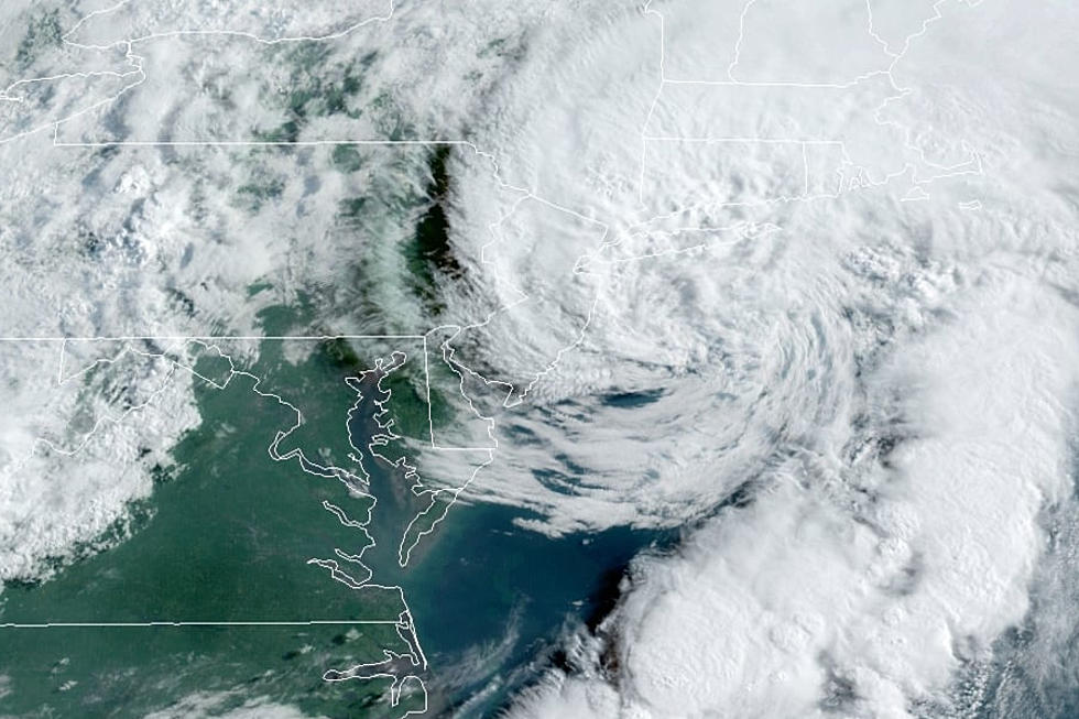
At 5PM Friday, the National Hurricane Center said the center of the storm was located 225 miles southeast of Cape May and the system was moving towards the northeast, or away from land and out to sea, at 15 MPH. That forecast track is likely to continue. Maximum sustained winds are 40 MPH and while some strengthening is likely, it should not reach hurricane threshold.

While Odette will not bring bad weather to the Garden State, the storm will cause dangerous rip currents for much of the weekend, which could be a concern since many beaches are now unguarded.
The National Weather Service says there is a high risk of rip currents through the weekend and, "entering the surf is discouraged."
Chief Meteorologist Dan Zarrow says the upcoming weekend will feature much-improved weather compared to Friday -- mostly sunny with highs in the lower 80s for Saturday and Sunday.

Odette is the 15th named tropical system so far this year. The next names on the list are Peter, Rose, and Sam.
Incredible, heartbreaking images of Ida's damage in New Jersey
Gallery Credit: Dan Alexander
Hurricane Ida damage in New Orleans & The Gulf Coast
Gallery Credit: Joe Votruba
More From Beach Radio