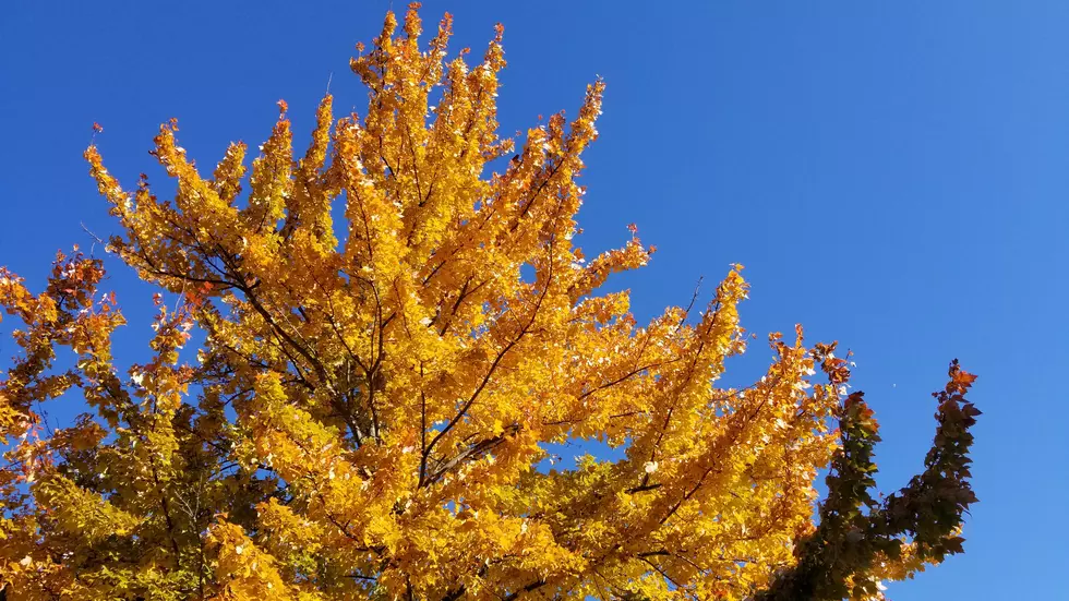
Sunny, dry weather returns, but the weekend forecast is a challenge
Our latest batch of rain is long gone now, our third solid soaking in a week. The overall winner in the Garden State was Vineland, Cumberland County, which picked up a grand total of 4.95 inches of rainfall! (1.72" Wednesday, 2.63" Sunday, 0.60" Tuesday). That southwest corner of NJ has been remarkably dry since summer ended. In fact, Vineland saw more rain in the last week than it did in the previous two and a half months! (4.95" from October 16 to October 22, compared to 4.86" from August 1 to October 15.) What a delightful drought-buster!
As promised, New Jersey's atmosphere has dried out quickly since rain departed early Wednesday morning. We're left with damp roads, patchy fog (visibility as low as a quarter-mile in North Jersey), and clearing skies for your Wednesday wakeup.
We'll enjoy a sunny and dry Wednesday, with an occasional breeze up to about 20 mph (out of the west-northwest). Overall, I think it's fair to call it a pleasant weather day, with seasonable high temps in the lower to mid 60s.
The classic combination of clear skies, calmer winds, and dry air will lead to a chilly Wednesday night. Overnight low temperatures will dip into the lower to mid 40s for most of New Jersey. The coldest spots, particularly NW NJ, will likely dip into the upper 30s.
Another winner of a weather day is in the forecast for Thursday. More sunshine, lighter winds, dry air, and dry weather. Highs should reach the mid 60s.
Increasing clouds take over Friday. But it should be another nice day, aside from a slight shower chance late-day. Look for highs holding steady in the 60s.
And then along comes the weekend. Sigh. This weekend's forecast is giving me a headache. Every time I look at model guidance, it paints a completely different picture for Friday night, Saturday, and Sunday.
As of the latest data, if you believe the GFS model, a warm front will deliver periods of rain from Saturday afternoon through midday Sunday. If you believe the Euro, most of Saturday will be dry, but we get soaked from Saturday night through most/all of Sunday. I'd put high temperatures near 60 degrees on Saturday and closer to 70 degrees on Sunday.
Given the poor model consensus, uncertainty in the weekend forecast is high. So I am not ready to nail down the timing and intensity of our impending rain. However, it is becoming crystal clear that clouds and rain will impact New Jersey at some point over the weekend. Hopefully I'll have a clearer picture to present in the next day or so.
Following the weekend, we should get a few days of pleasant weather. Unfortunately, that timeline would set us up for our next storm system on or around Halloween. Long-range models (which should be taken with a large grain of salt) do indeed show some rain next Thursday, followed by a big cooldown for the start of November. Just something to watch.
More From Beach Radio


