Stuck coastal storm: Coastal flooding, 30-40 mph winds, some rain
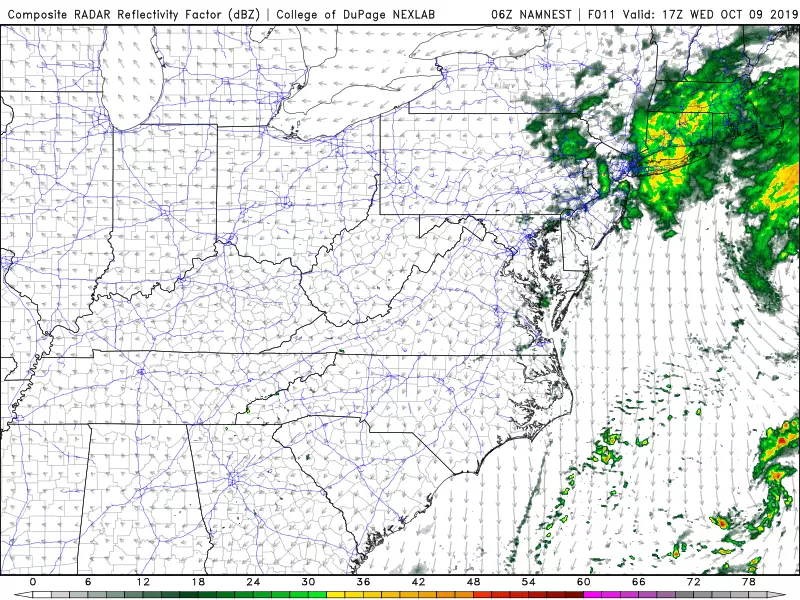
Our forecast for the rest of the week is falling into place. And while it still looks pretty unpleasant, we sure are getting lucky. A potent coastal storm system will get 'stuck' (technically, blocked) just east of the Jersey Shore. If this thing were to wiggle a few miles closer to New Jersey, we'd be in for some real nasty weather.
Granted, our weather will be pretty unpleasant through the rest of the week thanks to rain, clouds, wind, and cool temperatures. But our biggest concern here is the coast.
Coastal Flooding
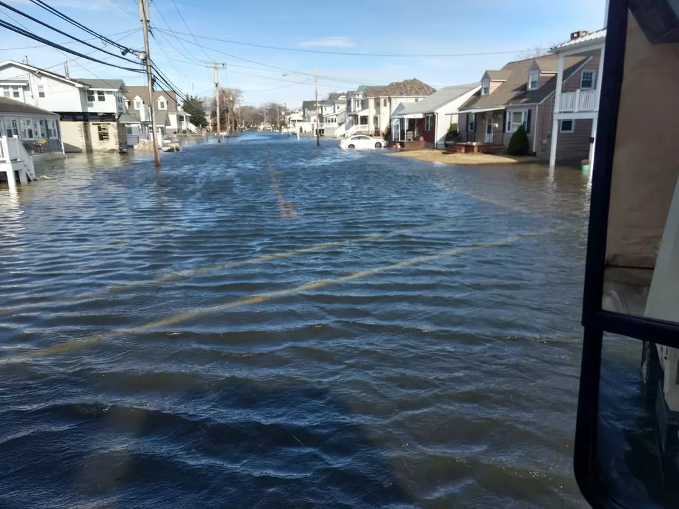
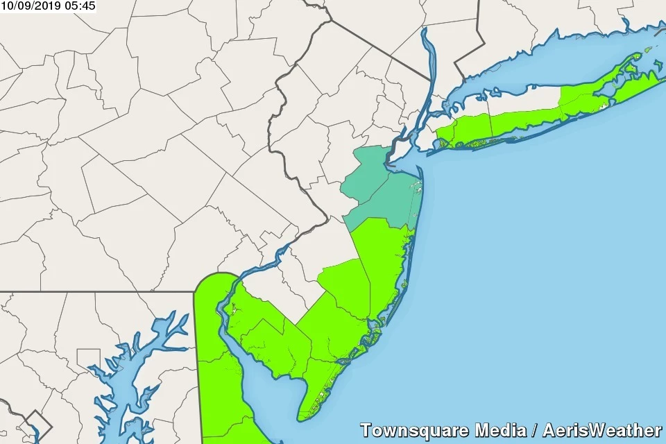
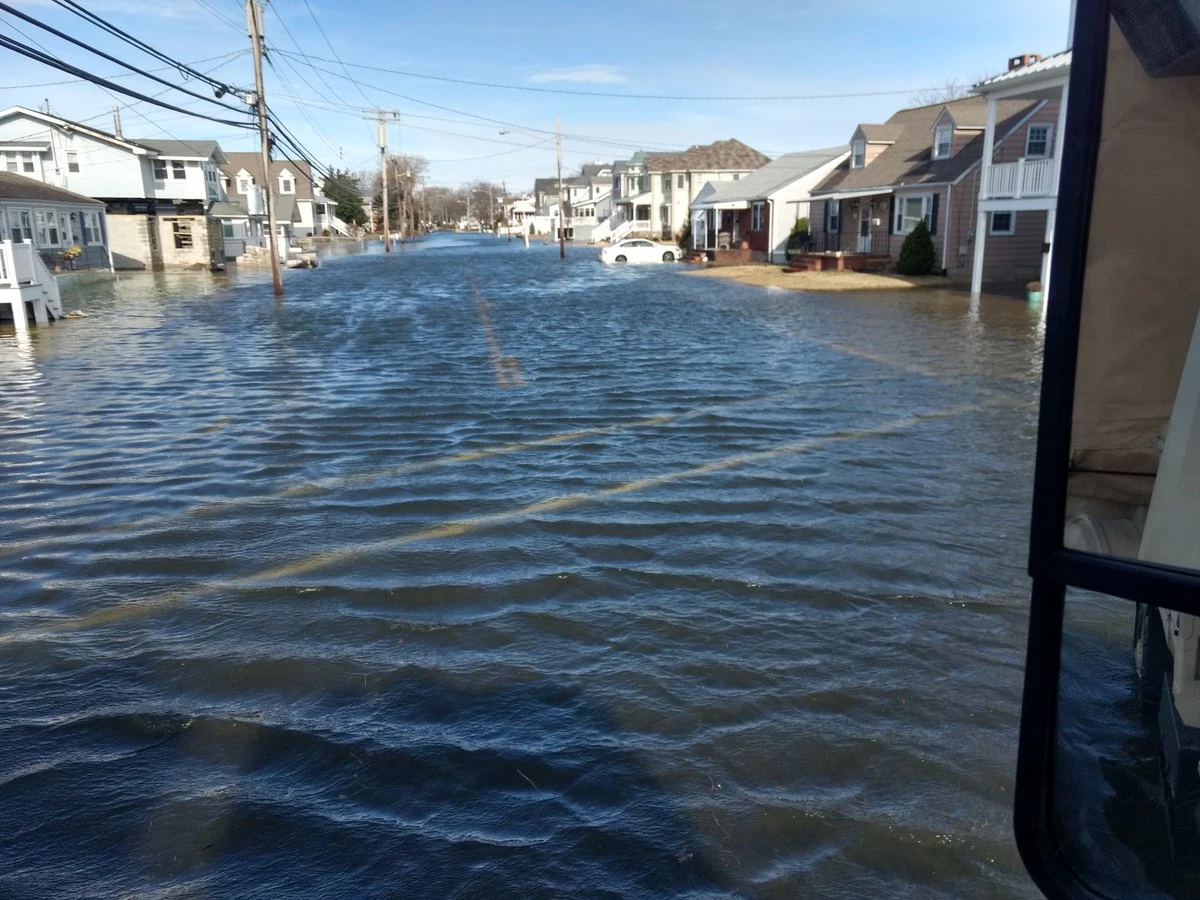
A Coastal Flood Advisory is in effect for most of the Jersey Shore Wednesday — Ocean, southeastern Burlington, Atlantic, Cape May, Cumberland, and Salem counties. About a foot of surge will cause minor flooding during Wednesday evening's high tide cycle (around 5 p.m.) That's where the "usual" vulnerable spots suffer some water issues, potentially leading to road closures and detours.
Our coastal flooding picture becomes even more precarious on Thursday and Friday. For several high tide cycles in a row, stronger winds will cause water levels to run 2 to 3 feet higher than usual. That bumps us firmly into the moderate flooding category (close to major flood stage in some spots). This level of water rise is enough to cause inundation of some major coastal roadways in addition to some property damage.
A Coastal Flood Watch has been issued for Middlesex, Monmouth, Ocean, and southeastern Burlington counties from Thursday through Friday evening. If the surge models continue to pump out big tide numbers, I'm sure this will be upgraded to a warning.
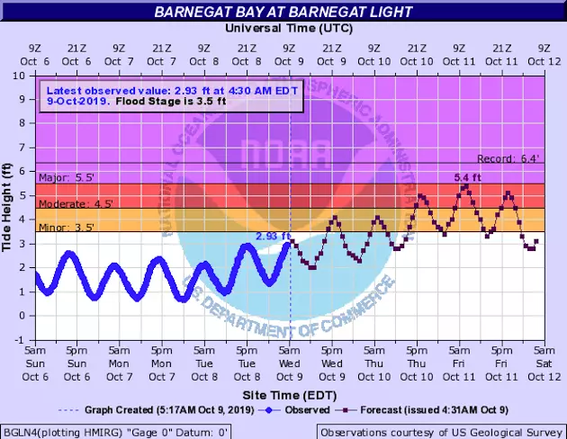
This degree of coastal flooding is, dare I say, typical for when a strong nor'easter flies by the Jersey Shore. I believe there's reason for special concern because we're expected to top flood stage over several consecutive high tide cycles. In fact, some spots are perilously close to staying above flood stage from Thursday afternoon through Friday morning, even during low tide. If back bays don't have a chance to drain between crests, it will lead to higher overall water levels. And that's a pretty significant problem.
Having said that, as I was reviewing the latest coastal data, three things caught my eye that I hope will help to mitigate our coastal flooding threat here:
—A subtle shift in the storm track has caused our predominant wind direction to shift from northeasterly to northerly. The less of an on-shore component the wind has, the less water will surge toward the coastline.
—According to the extratropical surge model, the biggest surge of water is expected around Midnight Thursday night-Friday morning. That is low tide.
—Not a single tide gauge along the Jersey Shore is expected to hit major flood stage. (But some are pretty close.)
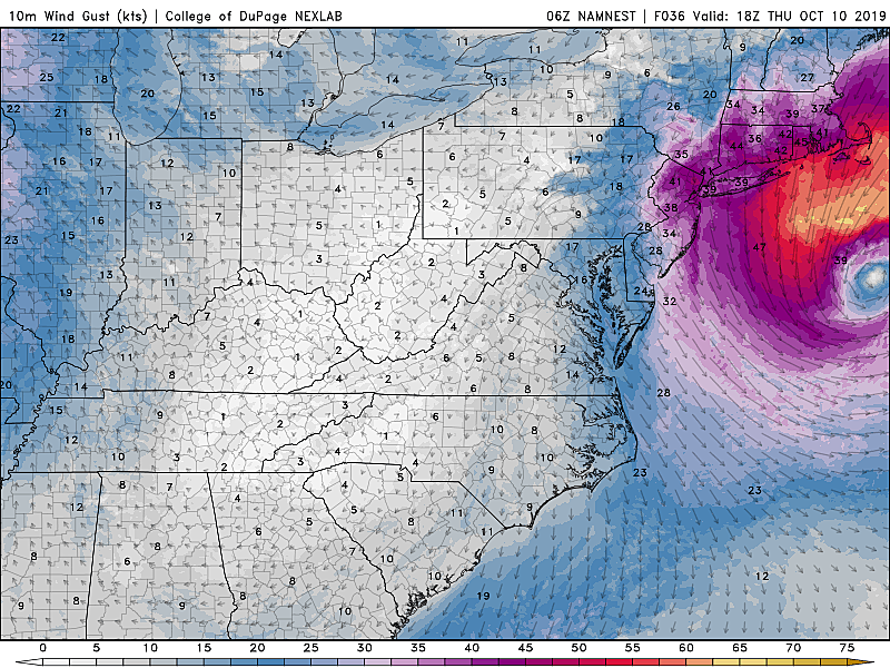
Ocean wave heights will likely top 6 feet for the duration. The ocean will be angry, my friends.
Rain & Wind
Wednesday looks to be the wettest day of the week, as our coastal storm approaches. Occasional bursts of rain are expected throughout the state. Winds are already kicking along the oceanfront, with gusts to about 30 mph expected. Temperatures will be stuck in the 50s all day.
Wednesday night will remain showery and breezy. Low temps in the lower 50s.
Wind gusts push even higher, to about 40 mph, on Thursday. Scattered showers return, mainly in the afternoon — but that forecast is highly dependent on the exact placement of rain bands getting spit out by the coastal low. Highs temperatures will remain well below-normal near 60 degrees.
Our storm system will finally start drifting out-to-sea on Friday. Showers remain likely, especially along the coast. Windy conditions will continue, with gusts to about 30 mph. High temperatures will continue to improve slightly, rising into the lower 60s.
Clearing Out, Calming Down
You'll finally see and feel big improvements this weekend, as the rain, wind, and surge threats subside.
I'm optimistic we'll see peeks of sun on Saturday. It's shaping up to be a mostly dry day, although I wouldn't rule out a shower Saturday night as a weak front sweeps through New Jersey. High temperatures will be just below seasonal norms, in the mid 60s.
Skies will continue to clear on Sunday, leading to an overall brighter and warmer day. We'll hopefully see a few 70-degree temperatures Sunday afternoon.
And I've been promising you a beautiful weather day on Monday, which is still looking good. Mostly sunny and lower 70s making for a lovely Columbus Day.
Update Schedule
I plan to offer more insight on coastal flooding later Wednesday, both here on my weather blog and via social media. My next full forecast update will be posted around 6 a.m. Thursday.
More From Beach Radio