Roads, power, NJ Transit — Friday’s essential snow information
The last gasp of the latest of a series of winter storms will continue to impact New Jersey on Friday but the worst of the precipitation is over.
Chief Meteorologist Dan Zarrow said that New Jersey will be in the final phase of the storm on Friday with some bands of "moderate" snowfall developing during the day which could create some slushy or icy conditions.

"Even though our weather will generally look and feel wintry for another 24 hours, additional snow and ice accumulations will be limited," Zarrow said. "I could see another inch or two of snow, and/or a few hundredths of an inch of ice.
Many schools districts will again move in-person learning online again on Friday.
The weekend forecast looks very quiet with sunny skies on Saturday and Sunday with temperatures in the 30s. A fast moving clipper system could leave up to 2 inches in northern and western New Jersey with all rain to the south.
STATE OFFICES
State offices will open at 10 a.m. per a tweet by the MVC because of the weather.
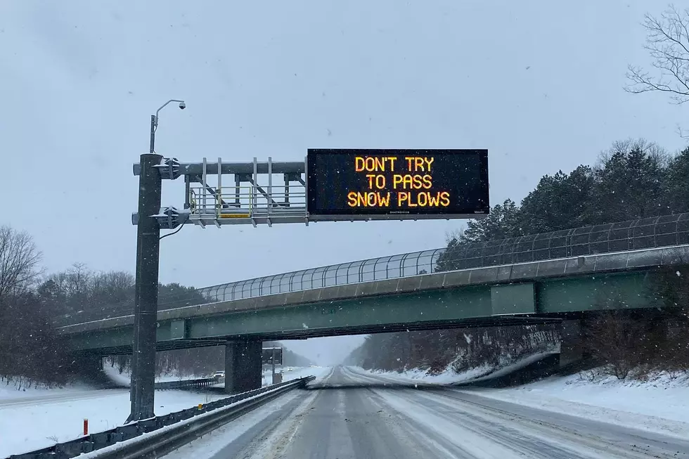
HIGHWAYS
A commercial vehicle travel restriction for all tractor trailers (exceptions as listed in the Administrative Order), empty straight CDL-weighted trucks, passenger vehicles pulling trailers, recreational vehicles and motorcycles on I-78, I-80, I-195, I-280, I-187, I-295 and Route 440 was lifted Thursday night at 10 p.m.
TRAINS/BUSES
- NJ Transit
- PATH
- PATCO
- SEPTA
POWER
- JCP&L, PSE&G, Atlantic City Electric and Rockland & Orange said they are ready with extra supplies and additional personnel should power lines fall. Utilities customers to report outage immediately via their websites, apps or phone.
AIRPORTS
- 29 flights scheduled to depart Newark Liberty on Friday and 14 arrivals have been canceled, according to FlightAware.com as of 3 a.m. on Friday.
CORONAVIRUS TESTING/VACCINATION CENTERS
- Appointments for the Monmouth County vaccination center have been canceled due to a delay in receiving vaccine.
Feb. 1 snowstorm hits the East
More From Beach Radio