Mother’s Day weekend weather for NJ: Not great, not a washout
The Bottom Line
Two storm systems are aiming for New Jersey, and will affect our Mother’s Day Weekend.
Friday looks fine. Saturday will be damp, dreary, and quite cool. Sunday will start bright and beautiful, before rain returns.

Friday
We begin the day where Thursday left off, with partly sunny skies, dry air, dry weather, and comfortably cool temperatures. Most spots are in the 40s Friday morning, with some 30s in the coolest spots. High temperatures will hit about 60 to 65 degrees Friday afternoon. That is a couple degrees cooler than Thursday, and still holding below normal for early May.
Skies will progress from partly to mostly cloudy. And we should stay dry during the daytime hours.
Our next storm system will approach from the west Friday evening. This one is a slow-mover, and not very well-organized. The end result will be a period of cruddy weather across New Jersey - but I highly doubt it will dump buckets of rain and severe weather over us.
First raindrops could creep over the Delaware River into western New Jersey as early as 5 p.m. Showers will be possible throughout Friday evening. The chance of steadier rain should hold off until after about Midnight Friday night.
Saturday
Not a great day, for a couple reasons.
First, the morning looks particularly damp and dreary, as scattered rain continues. (Especially to the north and east.) There could still be some showers around into the afternoon, but hopefully we’ll start to see some (slow) clearing.

Second, temperatures will end up very much on the cool side Saturday afternoon, thanks to a easterly wind keeping cool ocean-influenced air over the Garden State. Highs will only reach 50 to 55 degrees. That is a full 15+ degrees below normal for this time of year.
Skies will continue to clear Saturday night, as most low temps end up in the 40s. Some 30s and patchy frost will be possible in NW NJ by early Sunday morning.
Sunday
Absolutely the shining star of this weekend will be Mother’s Day morning. Breaks of sun will push temperatures into the lower 60s by midday.
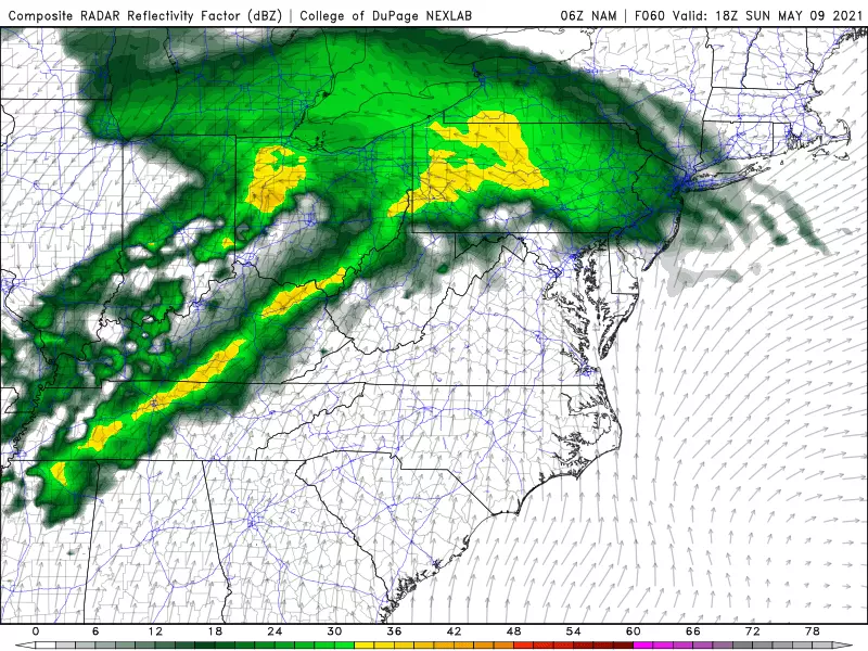
And then we get wet again. Our next storm system - an atmospheric impulse riding along a warm front - will push into New Jersey Sunday afternoon. This one will bring periods of steady to heavy rain right through Sunday night.
Monday & Beyond
There are significant differences among model guidance over how far north that warm front reaches. That will have a direct impact on the duration of the rain, and the extent of warming on Monday.
In other words, I don’t feel like I have a confident handle on Monday’s forecast. I think the most likely scenario would be steady rain ending in the morning. Then a lingering shower chance at any through the afternoon. High temperatures would range from the 50s in North Jersey, to near 70 in South Jersey. Don’t expect to see much sun until late-day.
Tuesday and Wednesday look good, although breezy. Sunshine and lower 60s Tuesday. Sunshine and upper 60s Wednesday.
And we’ll finally see seasonable 70s return around Thursday of next week. Before our next chance of rain Thursday night.
Dan Zarrow is Chief Meteorologist for Townsquare Media New Jersey. Follow him on Facebook or Twitter for the latest forecast and realtime weather updates.
Strange NJ Laws You've Never Heard Of
More From Beach Radio