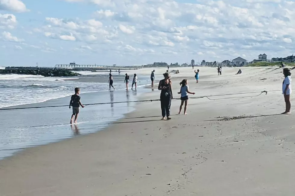
Jersey Shore Report for Saturday, August 15, 2020
Some beaches, boardwalks and facilities may be closed under local or state orders due to the novel coronavirus pandemic. Check with your destination's local authorities before traveling.

Advisories
--None at this time.
At the Shore
Current conditions and forecast as of Saturday morning
| Air Temperature | 77° - 82° |
|---|---|
| Winds | From the Northeast 14 - 20 mph (Gust 24 mph) 12 - 17 knots (Gust 21 knots) |
| Waves | 2 - 5 feet |
| Rip Current Risk | Moderate |
| Ocean Temperature | 71° - 80° (Normal 72° - 82°) |
| Sunrise/Sunset | 5:40am - 8:05pm |
| UV Index | 9 (Very High) |
Tide Times
| SANDY HOOK Sandy Hook Bay | High Sat 5:22a | Low Sat 11:27a | High Sat 5:36p | Low Sun 12:27a | |
| LONG BRANCH Atlantic Ocean | Low Sat 10:51a | High Sat 5:10p | Low Sat 11:51p | High Sun 5:52a | |
| MANASQUAN INLET Atlantic Ocean | High Sat 5:10a | Low Sat 11:03a | High Sat 5:24p | Low Sun 12:03a | |
| SEASIDE HEIGHTS Atlantic Ocean | Low Sat 10:55a | High Sat 5:06p | Low Sat 11:55p | High Sun 5:48a | |
| SEASIDE PARK Barnegat Bay | High Sat 9:02a | Low Sat 3:32p | High Sat 9:16p | Low Sun 4:32a | |
| BARNEGAT INLET Barnegat Bay | High Sat 5:17a | Low Sat 11:13a | High Sat 5:31p | Low Sun 12:21a | |
| MANAHAWKIN BRIDGE Manahawkin Bay | High Sat 8:09a | Low Sat 3:06p | High Sat 8:23p | Low Sun 4:06a | |
| LITTLE EGG INLET Great Bay | High Sat 6:02a | Low Sat 11:46a | High Sat 6:27p | Low Sun 12:58a | |
| ATLANTIC CITY Atlantic Ocean | High Sat 5:02a | Low Sat 10:47a | High Sat 5:25p | Low Sat 11:59p | |
| OCEAN DRIVE BRIDGE Townsends Inlet | High Sat 5:19a | Low Sat 11:06a | High Sat 5:55p | Low Sun 12:22a | |
| WILDWOOD CREST Atlantic Ocean | High Sat 5:06a | Low Sat 10:59a | High Sat 5:35p | Low Sun 12:04a | |
| CAPE MAY Delaware Bay | High Sat 6:01a | Low Sat 11:51a | High Sat 6:28p | Low Sun 12:54a |
Marine Forecast
From the National Weather Service, Mt. Holly
SMALL CRAFT ADVISORY IN EFFECT THROUGH LATE SUNDAY NIGHT
TODAY: E winds 10 to 15 kt. Gusts up to 20 kt. Seas 3 to 5 ft. Swell mainly from the NE with a dominant period of 7 seconds.
TONIGHT: NE winds around 15 kt with gusts up to 25 kt. Seas 4 to 5 ft. A chance of showers late. Swell mainly from the E with a dominant period of 7 seconds.
SUN: NE winds 15 to 20 kt with gusts up to 25 kt. Seas 4 to 7 ft. Showers likely until late afternoon, then a chance of showers late. Vsby 1 to 3 NM until late afternoon. Swell mainly from the NE with a dominant period of 7 seconds.
SUN NIGHT: NE winds 15 to 20 kt with gusts up to 25 kt. Seas 5 to 7 ft. A chance of showers. Swell mainly from the NE with a dominant period of 7 seconds.
MON: N winds 10 to 15 kt with gusts up to 20 kt, becoming NE 5 to 10 kt in the afternoon. Seas 4 to 6 ft. A chance of showers in the morning.
MON NIGHT: SE winds around 5 kt, becoming SW after midnight. Seas 3 to 5 ft. A chance of tstms.
TUE: W winds 5 to 10 kt, becoming SW in the afternoon. Seas 3 to 4 ft. A chance of tstms in the morning.
TUE NIGHT: SW winds 5 to 10 kt, becoming NW after midnight. Seas around 3 ft.
WED: NE winds around 5 kt, becoming SE in the afternoon. Seas around 3 ft.
WED NIGHT: S winds around 5 kt. Seas around 3 ft. A chance of tstms after midnight. Winds and seas higher in and near tstms.
Plan Your Trip
Data on this page amalgamated from several sources, including the National Weather Service (weather), National Ocean Service (tides), U.S. Naval Observatory (sun), and the U.S. Environmental Protection Agency (UV index).
More From Beach Radio