If you rent or rent out Sandy damaged home, Toms River, NJ government has your back against FEMA
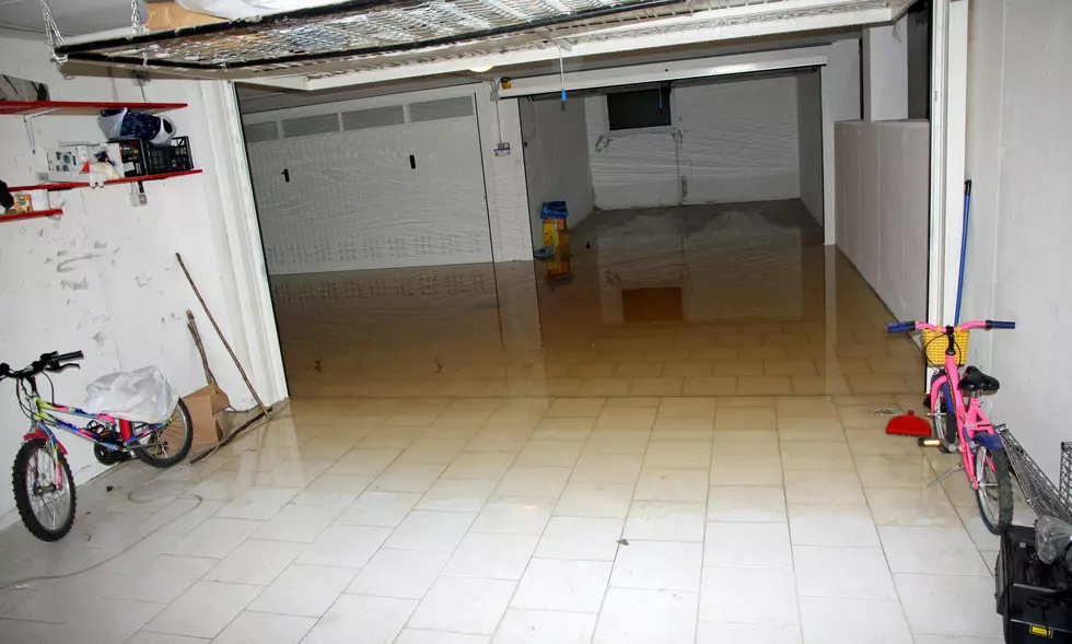
Many people who rent, rent out or live in homes in Toms River that were damaged by Superstorm Sandy requiring repairs, and in some cases rebuilds, are being told to elevate their structure by a certain amount by FEMA who is reportedly using outdated flood maps.
These residents received letters in November of 2021 from FEMA informing them they had to elevate their homes based on flood risk maps that haven't been updated in a long time.
It's why Toms River Mayor Maurice "Mo" Hill is saying the township will continue providing rental permits to such renters and those renting out until such time that FEMA provides more accurate data.
"New York City had filed a lawsuit against them (FEMA), New York City prevailed, the maps were 4-feet too high in New York and if they're 4-feet too high in New York, they've got to be too high down in Jersey maybe by as much as 2-feet. They (FEMA) were under a court mandate to draft new maps and they haven't done that and yet they want to hold our residents to maps that have already been judged inaccurate by the courts so I said we're not going to do that," Mayor Hill tells Townsquare Media News. "We're going to continue to let people rent their homes until FEMA can come up with maps that the court approves and then we'll go from there."
Given the current maps, without an update, Mayor Hill says some people may have been told to elevate when they don't or shouldn't have to do so.
"Right now if they're off by 2-feet, there may be people that don't have to raise their homes that are being told they have to raise them based on old maps," Hill said. "We were also told that once the beach replenishment was done, the maps would take that into account."
It's not a ruling for everyone, just for those whose home was substantially damaged by Sandy, Hill explains, and they were given a date by which they had to raise their home by the amount provided to them, "and if they didn't, we wouldn't issue any rental CO's."
That's no longer the case.
"I have changed that policy in town hall, I said 'no', as long as they're aren't accurate maps, we can't hold these people to a non-existent flood elevation map so until they (FEMA) come out with maps, we're going to continue to let the people rent their home," Hill said. "If you don't have a mortgage and you don't have flood insurance, I don't think that FEMA can make you raise your house. It's only the people who have mortgages that FEMA's going to exert some control over and we're not going to penalize the residents from renting their homes or from living in their homes until such time as FEMA comes up with some maps that are legitimate and pass muster with the courts."
There are about 700 homes in Toms River alone being impacted by this FEMA elevation requirement at the present moment.
"That number could drop dramatically if the maps are changed and the elevations are raised by 2-feet," Hill said. "In other words, if a 7-foot elevation becomes a 5-foot elevation, you may have people who don't need to raise their home."
Until FEMA updates their maps along with providing updated information, Toms River will be continuing to issue rental permits.
"We're just going to go ahead and issue rental permits, if they (FEMA) want to talk to anybody, they can call me. I'm not going to stop the residents from renting their homes, I think they have every right to do that until FEMA develops an accurate map," Hill said.
The Asbury Park Press was first to report this story.
How snow has impacted New Jersey residents

More From Beach Radio