A very summer-ish forecast for NJ: Warm and humid, with some thunderstorms
UPDATE as of 8 p.m. Monday...
A Severe Thunderstorm Watch has been issued for six NJ counties until 1 a.m. Tuesday.
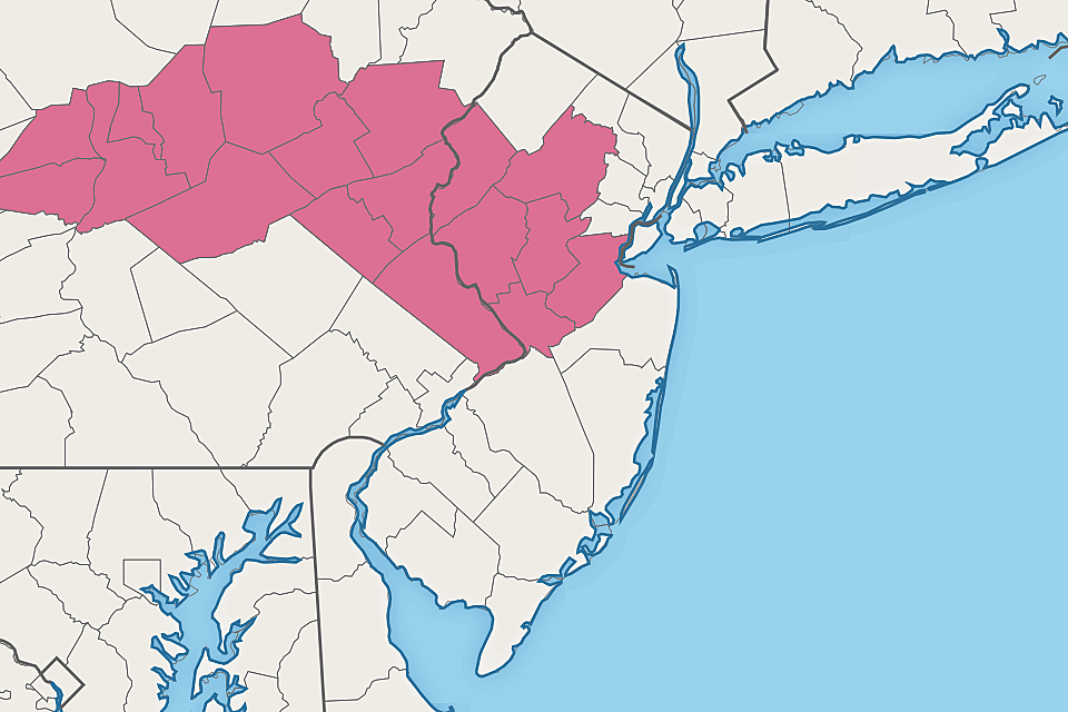
A compact, but potent, wave of energy is aiming for this narrow corridor of New Jersey Monday evening. An hour or two of pouring rain may lead to localized flash flooding issues. Gusty winds, hail, and frequent lightning are possible too.
A watch means that dangerous weather is possible. You should stay alert to changing weather conditions, and be prepared to seek shelter in a sturdy building if warnings are issued.
If this complex of storms holds together, the watch may be expanded farther east later on.
Be smart, stay safe.
ORIGINAL POST from 6:17 a.m. Monday...
The Bottom Line
Monday night's thunderstorm forecast is somewhat conditional: If storms roll in, they'll likely be strong, containing brief downpours and a burst of wind. We do have to talk about a localized risk of flash flooding — but I'm not worried about a big, bad, widespread deluge of water.
Warmth and humidity will be the theme of the first half of the week, a reminder that it is still technically summer. Our weather will turn more unsettled for the second half of the week, with thicker clouds and higher rain chances.
Monday
Back to work and back to school, as we head into the final full week of summer. (The fall equinox arrives next Wednesday 9/22.)
As I write this, a batch of strong thunderstorms is drifting through the Hudson Valley of New York, just north of New Jersey. As a frontal boundary sags south into North Jersey on Monday, the next shortwave and batch of rain will impact part of the Garden State.
We're starting off this Monday morning with temperatures near the 70 degree mark. You'll definitely feel a healthy hint of humidity in the air, preventing thermometers from dipping any lower. Keep in mind, climatological normal lows for this time of year are 59 to 62, so we're well above that mark.
High temps Monday afternoon will reach the mid 80s. Similar to (or a couple degrees warmer than) Sunday. Similar to a typical mid-summer day. Early sun will lead to building clouds Monday afternoon. A light breeze will come from the west, up to 15 mph.
You may notice some extra haze overhead, as western wildfire smoke returns to our upper atmosphere. The air quality forecast looks OK.
Now let's talk about rain and thunderstorms chances. I could see a popup shower somewhere around Monday late afternoon. But it's really much later — after 10 p.m. — when the atmosphere could get loud.
The northern half of the state will most likely see a round of scattered thunderstorms late Monday night. Atmospheric parameters support brief downpours, a burst of wind, and some hail. A shower or storm may drift south of Ocean and Burlington counties, but that chance looks pretty slim.

What about flooding? Obviously it's still a touchy subject in and around Ida's flood zone.
Some models put upwards of 1.5 to 2 inches of rain over a small area of North Jersey from Monday night's storms. However: 1.) Such heavy rain would be very localized, and 2.) 6-hour Flash Flood Guidance for North Jersey is now between 2 and 3 inches. That's why I am not concerned about big, bad, widespread flooding issues this time around.
Having said that, isolated pockets of flash flooding (specifically on roadways) will be possible during downpours. It's always a good idea to stay "weather aware" and alert to changing weather conditions. And never attempt to drive, walk, or swim through flooded areas.
If you don't see storms, Monday night will be partly cloudy and muggy, with lows in the upper 60s or so.
Tuesday
The aforementioned front will still be over northern New Jersey on Tuesday, leading to a wide north-south temperature gradient. North Jersey will top out in the mid 70s, while South Jersey once again hits the mid 80s. A more prominent southeasterly breeze blowing off the ocean will keep the Shore on the cooler side too, also in the 70s.
With a mix of sun and clouds, it should be another reasonably pleasant day. There is a slight chance for some late-day shower and thunderstorm activity.
Wednesday
The summerlike weather continues, with most high temperatures reaching into the mid to upper 80s. I wouldn't be surprised if we hit 90 somewhere away from the coast.
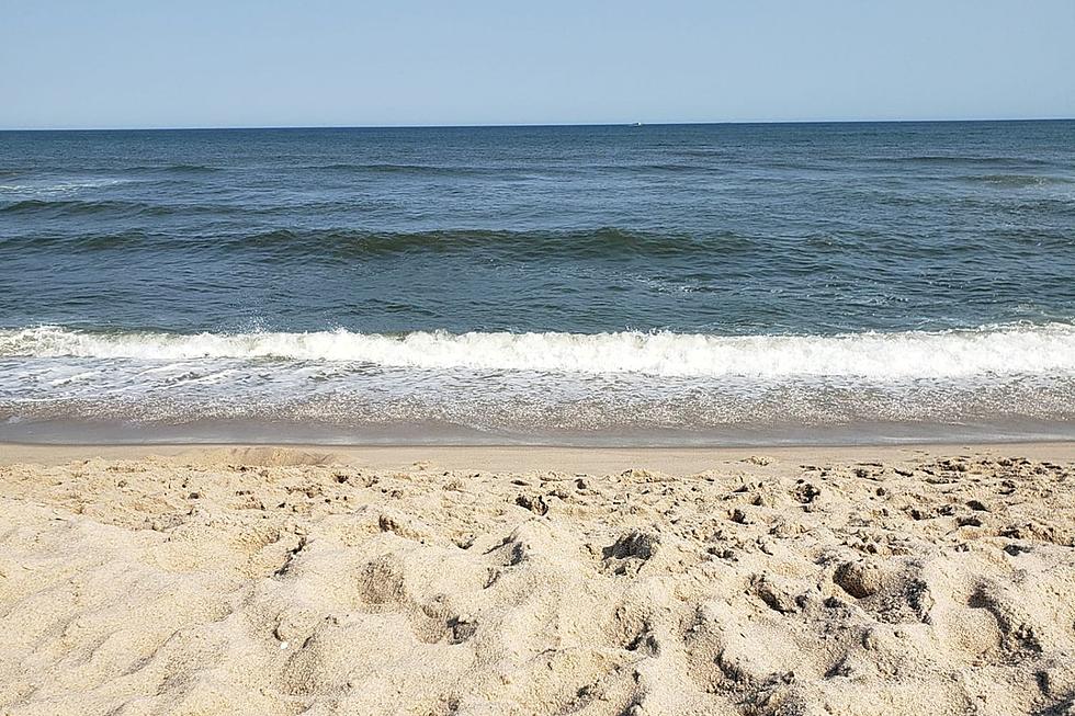
It will be mostly sunny and breezy. Probably a good day for the beach or the pool, assuming you haven't packed up the bathing suit for the season yet.
Thursday & Beyond
It's worth noting that the tropics are still very active — not surprising since we're only a few days past the average peak of the Atlantic hurricane season. There are several hotspots across the ocean under investigation, although there are no immediate concerns for New Jersey.
In the Gulf of Mexico, Tropical Storm Nicholas will scrape past the Texas coast Monday, driving in very heavy rain and a big flooding threat. As that tropical moisture gets wrapped up in the jet stream, it could enhance some rain over New Jersey later this weekend.

Both Thursday and Friday will be decidedly more unsettled and less "nice" than earlier in the week. Skies will become mostly cloudy to overcast. And we'll likely see several waves of scattered rain over the course of 36 to 48 hours.
Even though Nicholas' residual moisture will be in play, the forecast does not show any heavy rain or flooding issues at this time. Obviously, it's still something to watch closely as the week presses on — rule number one, never underestimate the rainfall potential of tropical moisture.
As long as that storm system setup exits on time, the final weekend of summer should be pleasantly warm. The long-range outlook shows cooler, more seasonable temperatures arriving next week through the end of the month.
Dan Zarrow is Chief Meteorologist for Townsquare Media New Jersey. Follow him on Facebook or Twitter for the latest forecast and realtime weather updates.
8 ways to battle the spotted lanternfly in NJ
Gallery Credit: Kylie Moore
Incredible, heartbreaking images of Ida's damage in New Jersey
Gallery Credit: Dan Alexander
More From Beach Radio