Monday NJ weather: 60s to 70s to 60s this week, with very little rain
The Bottom Line
We have been treated to some beautiful fall weather lately. And, in general, that trend will continue this week. We have a couple of minor rain chances to talk about. And a midweek cold front will suddenly flip the switch from warmup to cooldown.

Monday
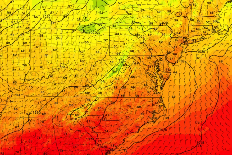
A couple of weak waves will pass through New Jersey on Monday. The first sparked a line of rain in the early morning hours — as of this writing (5:15 a.m.), we'll just left with sprinkles along the coast. Another batch of showers to the west will mostly fizzle by the time they reach New Jersey. But I will leave a precautionary isolated shower/sprinkle in the forecast through early evening.
Otherwise, it looks like a pleasant day with partly sunny skies. Temperatures are starting in the 40s and 50s, with highs between 65 and 70 degrees. That will be similar to Sunday's highs, and reasonably close to normal for early October.
Monday night will be quiet and mostly clear. I think we can call it comfortably cool, as low temps descend into the lower to mid 50s.
Tuesday
A nice fall day. Mostly sunny. Highs near 70. No complaints there!
Wednesday
The warmest day of the week, as high temperatures pop into the mid 70s. (Some models have even shown 80!) You'll encounter only a few clouds early on.
Meanwhile, our biggest weather story of the week will be a strong cold front arriving late-day Wednesday. (Probably pushing into NW NJ around late afternoon.) Guidance suggests it will be moisture-starved, so rain will be very limited — maybe a shower in northern New Jersey. You will feel a brief burst of wind, potentially gusting to 40 mph. And that will introduce our next cooler, drier air mass.
Thursday
The cooldown from fall to winter is not a smooth process — it's a bumpy road, that happens in spurts. Our next downward bump will arrive on Thursday. No more 70s, as we only top out in the mid 60s once again. Not bad, especially since it will be a bright, sunny day. A stiff breeze out of the west-northwest will keep that cool air moving around.
Friday & Beyond
Friday will probably be our coolest day of the week, with highs only in the lower 60s. Clouds will slowly increase, but it should be a dry end to the workweek.
Thermometers will return to the 70s over the weekend. At the moment, Saturday looks OK. But a batch of tropical moisture — currently Tropical Depression #26 (and soon to be "Delta") — is progged to drive in some solid rain from Saturday night through Sunday. I think that timeline, and the intensity of that rain, is still subject to wiggle quite a bit over the next 6-7 days. But just know that the Columbus Day Weekend forecast will be far from dry and perfect for the Garden State.
Dan Zarrow is Chief Meteorologist for Townsquare Media New Jersey. Follow him on Facebook or Twitter for the latest forecast and realtime weather updates.

More From Beach Radio


