Jersey Shore Report for Tuesday, September 11, 2018
At the Shore
Current conditions and forecast as of Tuesday morning
| Air Temperature | 75° - 84° |
|---|---|
| Winds | From the Southeast 5 - 8 mph (Gust 14 mph) 4 - 7 knots (Gust 12 knots) |
| Waves | 3 - 8 feet |
| Rip Current Risk | High |
| Ocean Temperature | 70° - 74° (Normal 72° - 76°) |
| Sunrise/Sunset | 6:40am - 7:18pm |
| UV Index | 7 (High) |
Maps


Tide Times
| SANDY HOOK Sandy Hook Bay | High Tue 9:42a | Low Tue 3:59p | High Tue 9:58p | Low Wed 4:24a | |
| LONG BRANCH Atlantic Ocean | High Tue 9:16a | Low Tue 3:23p | High Tue 9:32p | Low Wed 3:48a | |
| MANASQUAN INLET Atlantic Ocean | High Tue 9:30a | Low Tue 3:35p | High Tue 9:46p | Low Wed 4:00a | |
| SEASIDE HEIGHTS Atlantic Ocean | High Tue 9:12a | Low Tue 3:27p | High Tue 9:28p | Low Wed 3:52a | |
| SEASIDE PARK Barnegat Bay | Low Tue 7:45a | High Tue 1:22p | Low Tue 8:04p | High Wed 1:38a | |
| BARNEGAT INLET Barnegat Bay | High Tue 9:32a | Low Tue 3:55p | High Tue 9:52p | Low Wed 4:23a | |
| MANAHAWKIN BRIDGE Manahawkin Bay | Low Tue 7:19a | High Tue 12:29p | Low Tue 7:38p | High Wed 12:45a | |
| LITTLE EGG INLET Great Bay | High Tue 10:16a | Low Tue 4:20p | High Tue 10:36p | Low Wed 4:46a | |
| ATLANTIC CITY Atlantic Ocean | High Tue 9:19a | Low Tue 3:28p | High Tue 9:37p | Low Wed 3:55a | |
| OCEAN DRIVE BRIDGE Townsends Inlet | High Tue 9:51a | Low Tue 3:50p | High Tue 10:12p | Low Wed 4:16a | |
| WILDWOOD CREST Atlantic Ocean | High Tue 9:26a | Low Tue 3:33p | High Tue 9:48p | Low Wed 3:57a | |
| CAPE MAY Delaware Bay | High Tue 10:26a | Low Tue 4:31p | High Tue 10:47p | Low Wed 4:56a |
Marine Forecast
From the National Weather Service, Mt. Holly
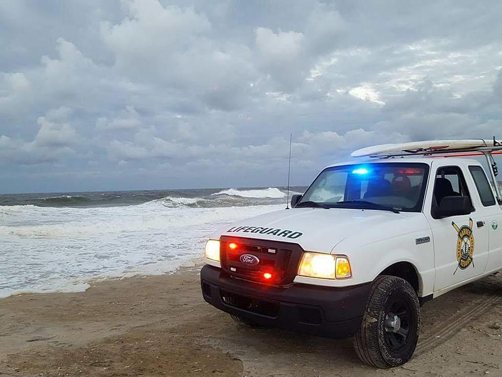
HIGH RISK RIP CURRENT RISK. Dangerous and potentially life threatening conditions exist for all people entering the surf.
SMALL CRAFT ADVISORY IN EFFECT THROUGH WEDNESDAY AFTERNOON
TODAY: SE winds around 5 kt. Seas around 8 ft, subsiding to 6 ft this afternoon. Swell mainly from the E with a dominant period of 10 seconds. A slight chance of tstms early this morning. A chance of showers. A chance of tstms this afternoon. Vsby 1 to 3 NM this morning.
TONIGHT: SE winds around 5 kt. Seas around 6 ft. Swell mainly from the E with a dominant period of 11 seconds. A chance of showers after midnight with vsby 1 to 3 NM.
WED: E winds around 5 kt. Seas around 6 ft. Swell mainly from the E with a dominant period of 12 seconds. A chance of showers early in the morning. A chance of showers and tstms in the afternoon. Vsby 1 to 3 NM early in the morning.
WED NIGHT: E winds 5 to 10 kt. Seas 7 to 8 ft. Swell mainly from the SE with a dominant period of 16 seconds. A chance of showers and tstms until early morning.
THU: E winds 10 to 15 kt with gusts up to 20 kt. Seas 8 to 9 ft. A chance of showers. A chance of tstms in the afternoon.
THU NIGHT: E winds 10 to 15 kt, increasing to 15 to 20 kt after midnight. Gusts up to 25 kt. Seas 10 to 11 ft. A chance of tstms in the evening. A chance of showers.
FRI: E winds 15 to 20 kt with gusts up to 25 kt. Seas 10 to 11 ft. A chance of showers. A chance of tstms in the afternoon.
FRI NIGHT: E winds 10 to 15 kt with gusts up to 25 kt. Seas around 9 ft. A chance of showers and tstms in the evening.
SAT: E winds 15 to 20 kt with gusts up to 25 kt. Seas around 9 ft.
SAT NIGHT: E winds 10 to 15 kt with gusts up to 25 kt. Seas 8 to 9 ft. Light swell in the evening. A chance of showers. Winds and seas higher in and near tstms.
Plan Your Trip
Data on this page amalgamated from several sources, including the National Weather Service (weather), National Ocean Service (tides), U.S. Naval Observatory (sun), and the U.S. Environmental Protection Agency (UV index).
More From Beach Radio