Jersey Shore Report for Sunday, May 30, 2021
Advisories
--None at this time.
At the Shore
Current conditions and forecast as of Sunday morning
| Air Temperature | 53° - 60° |
|---|---|
| Winds | From the Northeast 17 - 30 mph (Gust 37 mph) 15 - 26 knots (Gust 32 knots) |
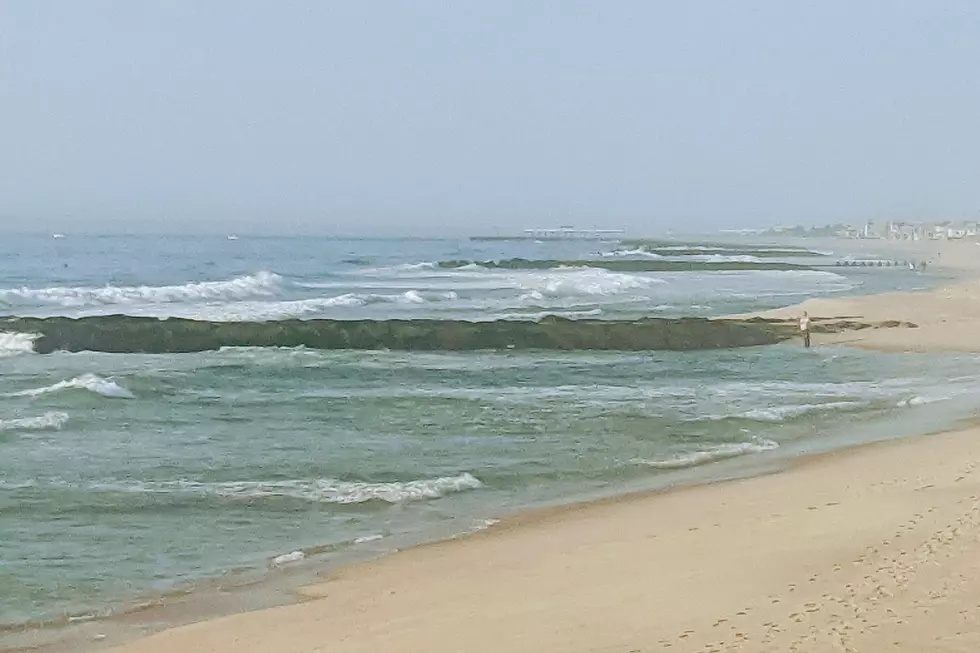
| Waves | 3 - 8 feet |
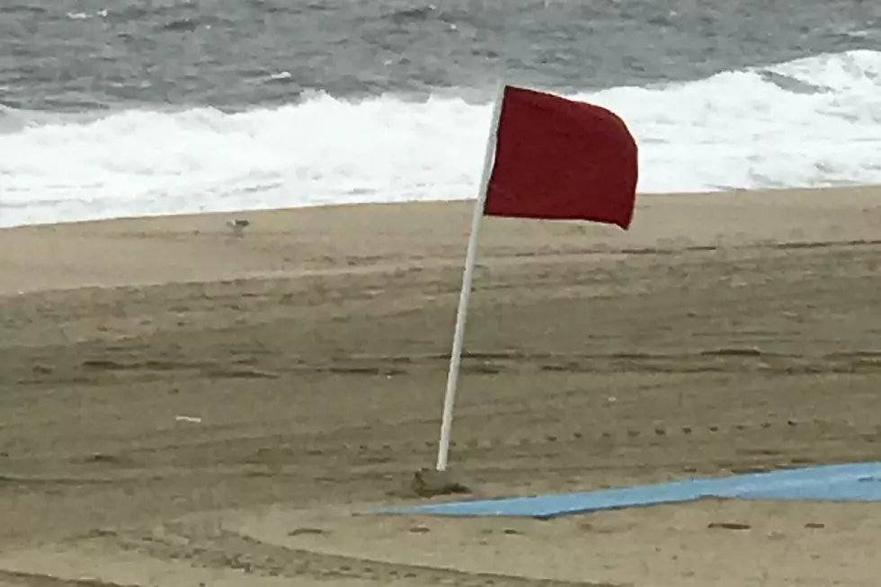
| Rip Current Risk | High |
| Ocean Temperature | 56° - 68° (Normal 58° - 62°) |
| Sunrise/Sunset | 5:29am - 8:18pm |
| UV Index | 2 (Low) |
Tide Times
| SANDY HOOK Sandy Hook Bay | Low Sun 5:55a | High Sun 12:05p | Low Sun 6:02p | High Mon 12:22a | |
| LONG BRANCH Atlantic Ocean | Low Sun 5:19a | High Sun 11:39a | Low Sun 5:26p | High Sun 11:56p | |
| MANASQUAN INLET Atlantic Ocean | Low Sun 5:31a | High Sun 11:53a | Low Sun 5:38p | High Mon 12:10a | |
| SEASIDE HEIGHTS Atlantic Ocean | Low Sun 5:23a | High Sun 11:35a | Low Sun 5:30p | High Sun 11:52p | |
| SEASIDE PARK Barnegat Bay | Low Sun 10:00a | High Sun 3:45p | Low Sun 10:07p | High Mon 4:02a | |
| BARNEGAT INLET Barnegat Bay | Low Sun 6:00a | High Sun 11:53a | Low Sun 6:00p | High Mon 12:10a | |
| MANAHAWKIN BRIDGE Manahawkin Bay | Low Sun 9:34a | High Sun 2:52p | Low Sun 9:41p | High Mon 3:09a | |
| LITTLE EGG INLET Great Bay | Low Sun 6:27a | High Sun 12:33p | Low Sun 6:23p | High Mon 12:52a | |
| ATLANTIC CITY Atlantic Ocean | Low Sun 5:34a | High Sun 11:37a | Low Sun 5:33p | High Sun 11:56p | |
| OCEAN DRIVE BRIDGE Townsends Inlet | Low Sun 6:01a | High Sun 12:07p | Low Sun 5:53p | High Mon 12:31a | |
| WILDWOOD CREST Atlantic Ocean | Low Sun 5:41a | High Sun 11:44a | Low Sun 5:32p | High Mon 12:05a | |
| CAPE MAY Delaware Bay | Low Sun 6:35a | High Sun 12:41p | Low Sun 6:34p | High Mon 1:02a |
Marine Forecast
From the National Weather Service, Mt. Holly
SMALL CRAFT ADVISORY IN EFFECT UNTIL 6 PM EDT THIS EVENING
THIS AFTERNOON: NW winds 5 to 10 kt, becoming W late. Seas 4 to 5 ft. Swell mainly from the S with a dominant period of 8 seconds.
TONIGHT: W winds 5 to 10 kt, becoming NW 10 to 15 kt with gusts up to 20 kt late. Seas 3 to 4 ft. Swell mainly from the S with a dominant period of 7 seconds.
TUE: NW winds 10 to 15 kt with gusts up to 20 kt, diminishing to 5 to 10 kt late in the morning, then becoming W early in the afternoon, increasing to 10 to 15 kt with gusts up to 20 kt late. Seas 3 to 4 ft. Swell mainly from the S with a dominant period of 7 seconds.
TUE NIGHT: NW winds 10 to 15 kt, increasing to 15 to 20 kt late. Gusts up to 25 kt. Seas 3 to 4 ft. Swell mainly from the S with a dominant period of 7 seconds, becoming mainly from the NW with a dominant period of 6 seconds after midnight.
WED: NW winds 15 to 20 kt, diminishing to 10 to 15 kt in the afternoon. Gusts up to 25 kt. Seas 3 to 4 ft.
WED NIGHT: NW winds around 10 kt. Seas 2 ft or less.
THU: NW winds 5 to 10 kt, becoming SW in the afternoon. Seas 2 ft or less.
THU NIGHT: SW winds 5 to 10 kt. Seas 2 ft or less.
FRI: W winds around 5 kt, becoming S in the afternoon. Seas 2 ft or less.
FRI NIGHT: SW winds 5 to 10 kt, becoming W after midnight. Seas 2 ft or less.
Plan Your Trip
Data on this page amalgamated from several sources, including the National Weather Service (weather), National Ocean Service (tides), U.S. Naval Observatory (sun), and the U.S. Environmental Protection Agency (UV index).
More From Beach Radio