

A few snowflakes and raindrops Friday, then a weekend taste of Spring
Yes, we'll see some snowflakes and raindrops in New Jersey on Friday.
No, it's still not going to be a big deal.
For the fourth morning in a row, our Friday is starting off unseasonably cold. Temperatures are in the teens and 20s — ever so slightly warmer than Thursday, and at leas we don't have any wind to brace against.
While you'll catch some peeks of sunshine Friday morning, it's going to be a mostly cloudy day overall. Look for high temperatures around the upper 30s Friday afternoon.
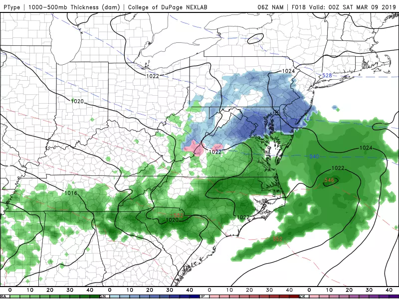
Meanwhile, we continue to track a weak little storm system, aiming for New Jersey. Here's what you need to know:
—Timing? Snowflakes and raindrops are most likely to fall between about 2 p.m. and 10 p.m.
—Type? Precipitation type (snow vs. rain) is almost impossible to pinpoint, as temperatures (both at the surface and up in the atmosphere) are going to be right on the line between snow and rain.
—Geography? Best chance for rain/snow will be western and southern New Jersey; the NYC metro area may stay completely dry from this thing.
—Accumulations? Maybe a coatring away from the coast, but even that's pushing it.
—Impacts? Minor travel headaches are possible for Friday evening's commute, including pockets of reduced visibility due to snow/rain and slippery spots. That's it.
See, no big deal. Don't change your plans for this one. It's barely even worth talking about, certainly not worthy of an iota of hype. But it's my job to present the forecast, so there you go.
Skies will slowly clear after Friday night, especially after Midnight. Low temperatures are expected to fall to around the 30 degree mark.
All week, I've been praising Saturday's forecast as a pretty nice early March day. Even though I've had to increase the cloud cover forecast somewhat, I still like it a lot. Early sun, late clouds, highs in the mid 40s — that is ever so slightly below normal for this time of year.
Sunday will be even warmer, with high temperatures ranging from the upper 40s in North Jersey to the lower 60s in South Jersey. (Woohoo, springy!) But it looks pretty wet too. A healthy storm system will produce about a half-inch to an inch of rain across New Jersey from Sunday early morning through Sunday early afternoon (with lingering showers possible through Sunday early evening). Again, with those above-freezing temperatures, it's going to be almost all rain for the Garden State.
The exception is the NW corner of the state (north of I-78, west of I-287), where temperatures may be cold enough Sunday morning to sustain a period of wintry mix. The worst-case scenario here would be a period of freezing rain, as it wouldn't take much ice accumulation to make for a very slippery situation.
We may salvage a piece of Sunday afternoon, as our weather dries out and clears out. And then the air mass behind the rain really won't be that cold. As skies become mostly sunny on Monday, we'll see high temperatures still in the lower to mid 50s — hey, not bad! We will have to contend with a stiff breeze, up to 20 mph. And we'll scale back to the 40s on Tuesday — not an arctic blast, by any stretch.
With no snow storms on the horizon, I'm going to thoroughly enjoy this weekend off. And I hope you do too!
More From Beach Radio


