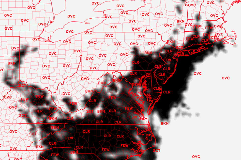
When will clouds clear and sunshine return to New Jersey?
Although temperatures remain unseasonably warm, we have been stuck in a period of dreary and wet weather.
Tuesday was certainly a wet day, with half-inch rainfall totals recorded across much of New Jersey. Dreary weather continues throughout Wednesday, as showers, drizzle, and fog keep hold of the Garden State for most of the day.
Visibilities are reduced and roads are wet Wednesday morning, and I'm not optimistic that conditions will improve much later on. While we'll avoid any semblance of steady or heavy rain Wednesday, sprinkles, mist, and fog will keep our weather grey through at least the early afternoon hours.
To answer the question I posed in the headline of this blog post, there's a chance clouds will break apart in South Jersey by late afternoon. But don't hold your breath for clearing skies during the daytime hours Wednesday.
The one shining light in this forecast? The mild thermometer. Highs will be about 10 degrees above normal today, with upper 40s expected across most of the state and lower 50s to the south (again, especially if we see a peek of sun).
Clouds will break apart further Wednesday night as high pressure moves closer to New Jersey. That will allow temperatures to fall into the chilly mid 30s. I think most of New Jersey will stay above freezing overnight.
Thursday looks like a real winner of a weather day. Skies may actually become mostly sunny for most of the day, helping high temperatures to bump into the lower 50s. Pleasantly light winds and dry skies are expected too.
Skies will become mostly cloudy again by the time you wake up Friday morning. However, most of Friday looks OK, although clouds will limit high temperatures to the upper 40s.
A weak, disorganized warm front will slide from southwest to northeast starting late afternoon Friday. That will produce a brief period of rain, through early Saturday morning.
Clouds will win the sky through the weekend, although it's not all sour news. Highs will generally reach the upper 40s to around 50 degrees for both Saturday and Sunday. Consistent, fairly pleasant, and still above normal.
Our next significant storm system will slide into New Jersey starting on Sunday - most models show first raindrops to fall in the Sunday night time frame. And most models drop quite a bit of rain over New Jersey through sometime Tuesday - several inches of rain, perhaps? While I'm not going to rule out a bit of icing in the higher elevations, this will be another wet weather event - not a wintry one.
More From Beach Radio


