NJ Coastal Flood Risk Maps Released
The Federal Emergency Management Agency says that data gathered before Superstorm Sandy shows that New Jersey's coastal flood risk is worse than previously believed.
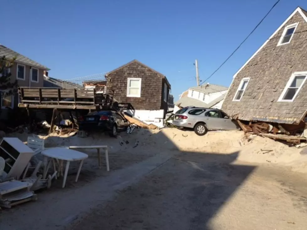
Hurricane Sandy flooding
The agency says that the water could be 1 to 5 feet higher in the majority of flood zones.
The new maps were released on Saturday and can be viewed here.
The maps for 10 coastal counties are being issued now to help property owners and local governments decide how to rebuild.
Similar maps that are used to determine federal flood insurance premium costs are due to come out next year.
(Copyright 2012 by The Associated Press. All Rights Reserved.)
More From Beach Radio