Last day of Spring: Humidity hiatus for NJ, temps in the 80s
It's the calm after the storm, as drier air makes the Garden State's atmosphere more comfortable with pleasantly warm and mostly quiet weather through midweek.
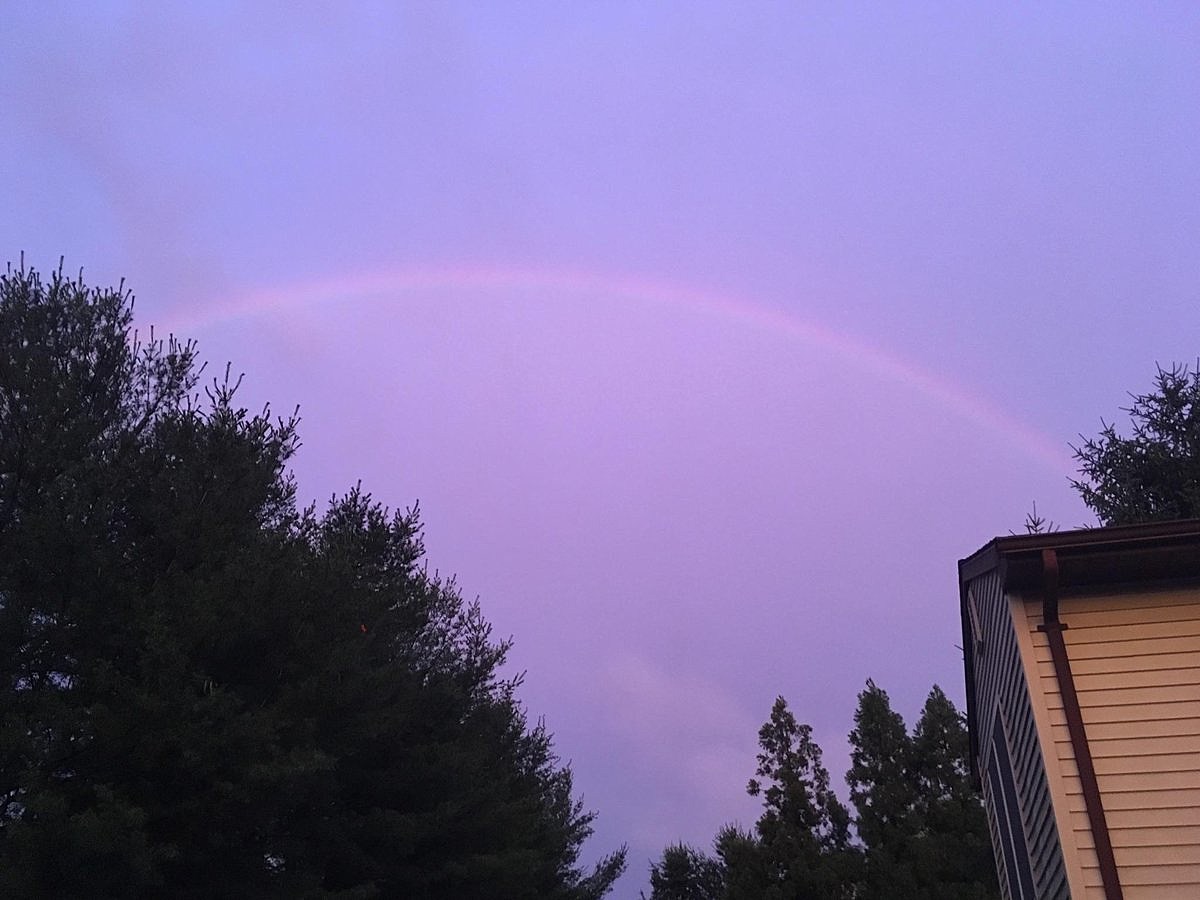
Monday's strong to severe thunderstorms left their mark on the Garden State, with a number of downed trees, power outages, and areas of flash flooding reported.
Overall, the severe weather and drenching rains underperformed what was forecast — not complaining, mind you. And, of course, anyone on the road Monday evening would tell you how nasty the weather (and ensuing traffic) was.
As the cleanup continues Tuesday morning, our rain has (almost) come to an end — a few isolated showers and sprinkles are possible through about 7 a.m. Skies will clear to sunshine for most of the state, although I am wondering if thicker clouds will hover along the coast. We'll enjoy warm high temperatures in the lower to mid 80s on Tuesday, along with a stiff breeze peaking around 20 mph.
Meanwhile, the noticeable drop in humidity I've been advertising is still coming — the drier air is just taking its time. As of this writing, I'm seeing more comfortable conditions in far North Jersey. Humidity levels will continue to lower across the state through Tuesday afternoon. I promise you'll sweat less on Tuesday than you have over the past few days!
I'd like to call Tuesday a decent beach day, but I have two hesitations. First, the ambient west-southwest wind will be enough to counter any sea breeze — a land breeze keeps beaches warmer, and means the flies will be biting. Second, a moderate risk for dangerous rip currents has been posted for the entire Jersey Shore on Tuesday. While that's a downgrade from the "high risk" over the past few days, seas will remain high and fairly rough.
At least a few clouds will dot the skies of New Jersey Tuesday night, possibly increasing to mostly cloudy in spots. Low temperatures should be fairly comfortable, falling into the mid 60s by Wednesday morning.
Summer officially begins 12:24 a.m. Wednesday morning. And we'll have a mostly pleasant start to the new season, with mostly sunny skies and highs in the lower to mid 80s. However, as a weak front passes overhead, I can't rule out an isolated rain shower at some point.
I have to include a few extra clouds in the forecast for Thursday, but it should still be a nice day with temperatures holding steady in the 80s. Dew points and humidity may creep upward slightly by Thursday afternoon.
You'll really feel the mugginess again on Friday, as temperatures tick upward too. Thermometers may reach the upper 80s to 90 degrees. Clouds will increase, leading to a chance of showers and thunderstorms Friday afternoon and evening. Given the available heat and moisture, we'll have to watch the potential strength of these storms as Friday gets closer.
And then along comes the first weekend of Summer 2017. And yet again, it looks unsettled and occasionally wet, especially on Saturday. Blah. At the moment, Sunday looks like the drier day of the weekend, although cooler. Don't change or cancel your plans just yet though, as there's still plenty of time for the forecast to evolve.
More From Beach Radio