Jersey Shore Report for Monday, September 18, 2017
Check the latest weather and surf conditions and forecasts for New Jersey's beaches, boardwalks, and bays.
Advisories
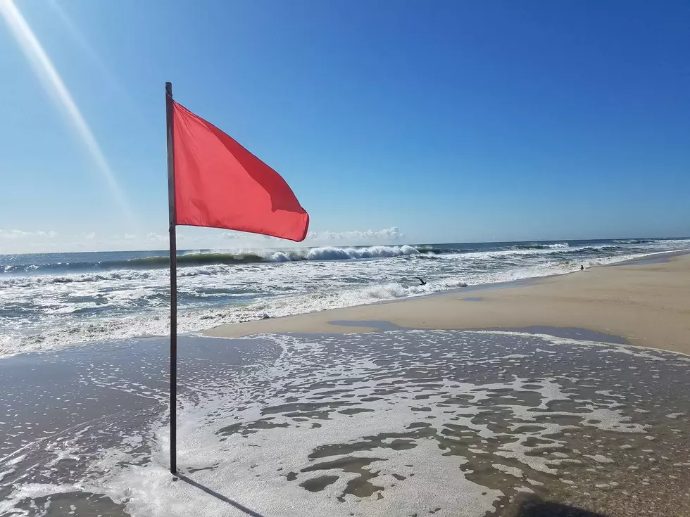
A Tropical Storm Watch has been issued for the entire Jersey Shore, in advance of Tropical Storm Jose's arrival late Monday into Tuesday. In addition, a High Risk of rip currents and rough surf has been posted for Monday (and will continue for the foreseeable future).
At the Shore
Current conditions and forecast as of Monday morning
| Air Temperature | 73° - 77° |
|---|---|
| Winds | From the Northeast 14 - 26 mph (Gust 37 mph) 12 - 23 knots (Gust 32 knots) |
| Waves | 3 - 10 feet |
| Ocean Temperature | 70° - 76° (Normal 67° - 72°) |
| Sunrise/Sunset | 6:47am - 7:6pm |
| UV Index | 4 (Moderate) |
Maps


Tide Times
| SANDY HOOK Sandy Hook Bay | High Mon 6:59a | Low Mon 1:09p | High Mon 7:17p | Low Tue 1:46a | |
| LONG BRANCH Atlantic Ocean | High Mon 6:33a | Low Mon 12:33p | High Mon 6:51p | Low Tue 1:10a | |
| MANASQUAN INLET Atlantic Ocean | High Mon 6:47a | Low Mon 12:45p | High Mon 7:05p | Low Tue 1:22a | |
| SEASIDE HEIGHTS Atlantic Ocean | High Mon 6:29a | Low Mon 12:37p | High Mon 6:47p | Low Tue 1:14a | |
| SEASIDE PARK Barnegat Bay | Low Mon 5:03a | High Mon 10:39a | Low Mon 5:14p | High Mon 10:57p | |
| BARNEGAT INLET Barnegat Bay | High Mon 6:46a | Low Mon 1:03p | High Mon 7:07p | Low Tue 1:45a | |
| MANAHAWKIN BRIDGE Manahawkin Bay | High Mon 9:46a | Low Mon 4:48p | High Mon 10:04p | Low Tue 5:25a | |
| LITTLE EGG INLET Great Bay | High Mon 7:28a | Low Mon 1:25p | High Mon 7:49p | Low Tue 2:07a | |
| ATLANTIC CITY Atlantic Ocean | High Mon 6:41a | Low Mon 12:40p | High Mon 6:59p | Low Tue 1:19a | |
| OCEAN DRIVE BRIDGE Townsends Inlet | High Mon 7:06a | Low Mon 1:01p | High Mon 7:30p | Low Tue 1:42a | |
| WILDWOOD CREST Atlantic Ocean | High Mon 6:49a | Low Mon 12:51p | High Mon 7:11p | Low Tue 1:28a | |
| CAPE MAY Delaware Bay | High Mon 7:45a | Low Mon 1:43p | High Mon 8:07p | Low Tue 2:22a |
Marine Forecast
From the National Weather Service, Mt. Holly
TROPICAL STORM WATCH IN EFFECT
TODAY: NE winds 10 to 15 kt, increasing to 15 to 20 kt this afternoon. Seas 6 to 7 ft. Mainly in SE swell with a dominant period of 14 seconds. A slight chance of showers early this morning. A slight chance of showers late.
TONIGHT: Tropical storm conditions possible. NE winds 15 to 20 kt, increasing to 20 to 25 kt after midnight. Gusts up to 35 kt. Seas 9 to 10 ft. Mainly in SE swell with a dominant period of 14 seconds. A chance of showers until early morning, then showers likely late.
TUE: Tropical storm conditions possible. NE winds 25 to 30 kt with gusts up to 45 kt. Seas around 14 ft. Mainly in E swell with a dominant period of 14 seconds. Showers.
TUE NIGHT: Tropical storm conditions possible. N winds 25 to 35 kt with gusts up to 45 kt. Seas around 16 ft dominant period 14 seconds, subsiding to 13 ft dominant period 13 seconds after midnight. Showers.
WED: NW winds 25 to 30 kt with gusts up to 40 kt, diminishing to 15 to 20 kt with gusts up to 30 kt in the afternoon. Seas around 12 ft in the morning. Mainly in E swell with a dominant period of 13 seconds in the morning.
WED NIGHT: NW winds 15 to 20 kt with gusts up to 25 kt.
THU: N winds 15 to 20 kt with gusts up to 25 kt.
THU NIGHT: N winds 10 to 15 kt with gusts up to 25 kt.
FRI: N winds 10 to 15 kt with gusts up to 25 kt.
FRI NIGHT: N winds 10 to 15 kt with gusts up to 25 kt.
Plan Your Trip
Data on this page amalgamated from several sources, including the National Weather Service (weather), National Ocean Service (tides), U.S. Naval Observatory (sun), and the U.S. Environmental Protection Agency (UV index).
More From Beach Radio